Threat and Site Profile
Define the protected area, expected drone activity, terrain, line of sight and required coverage.
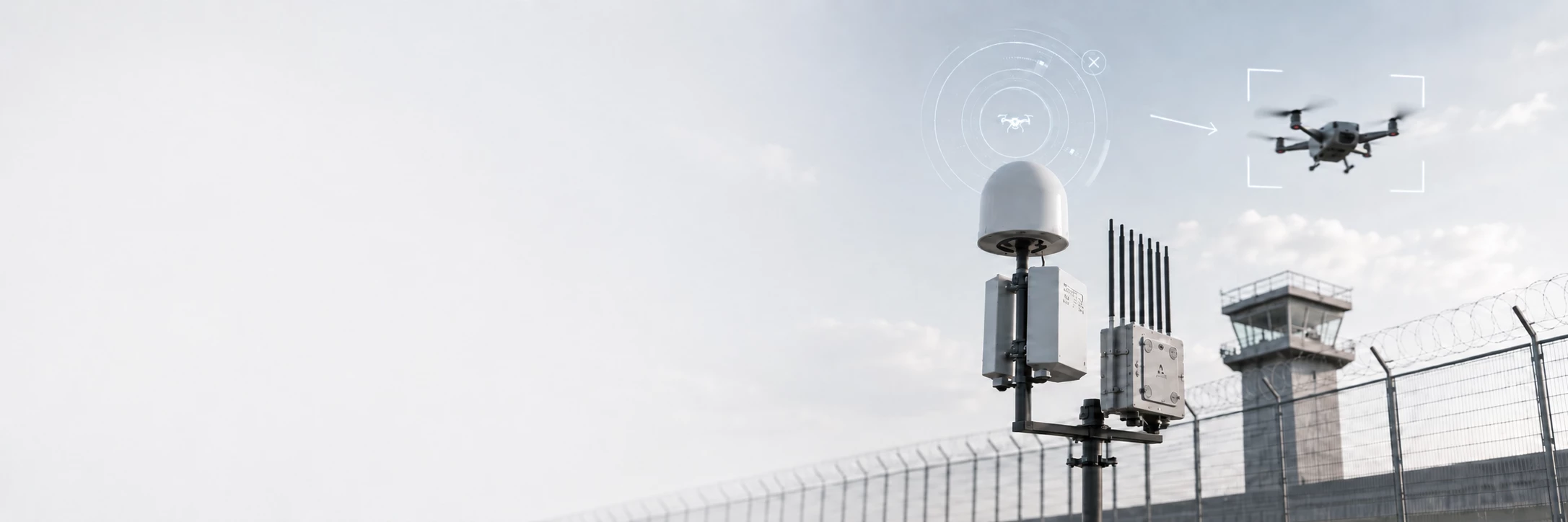
Explore counter-UAV solution pages for airports, prisons, borders, oil and gas facilities, and public event security.
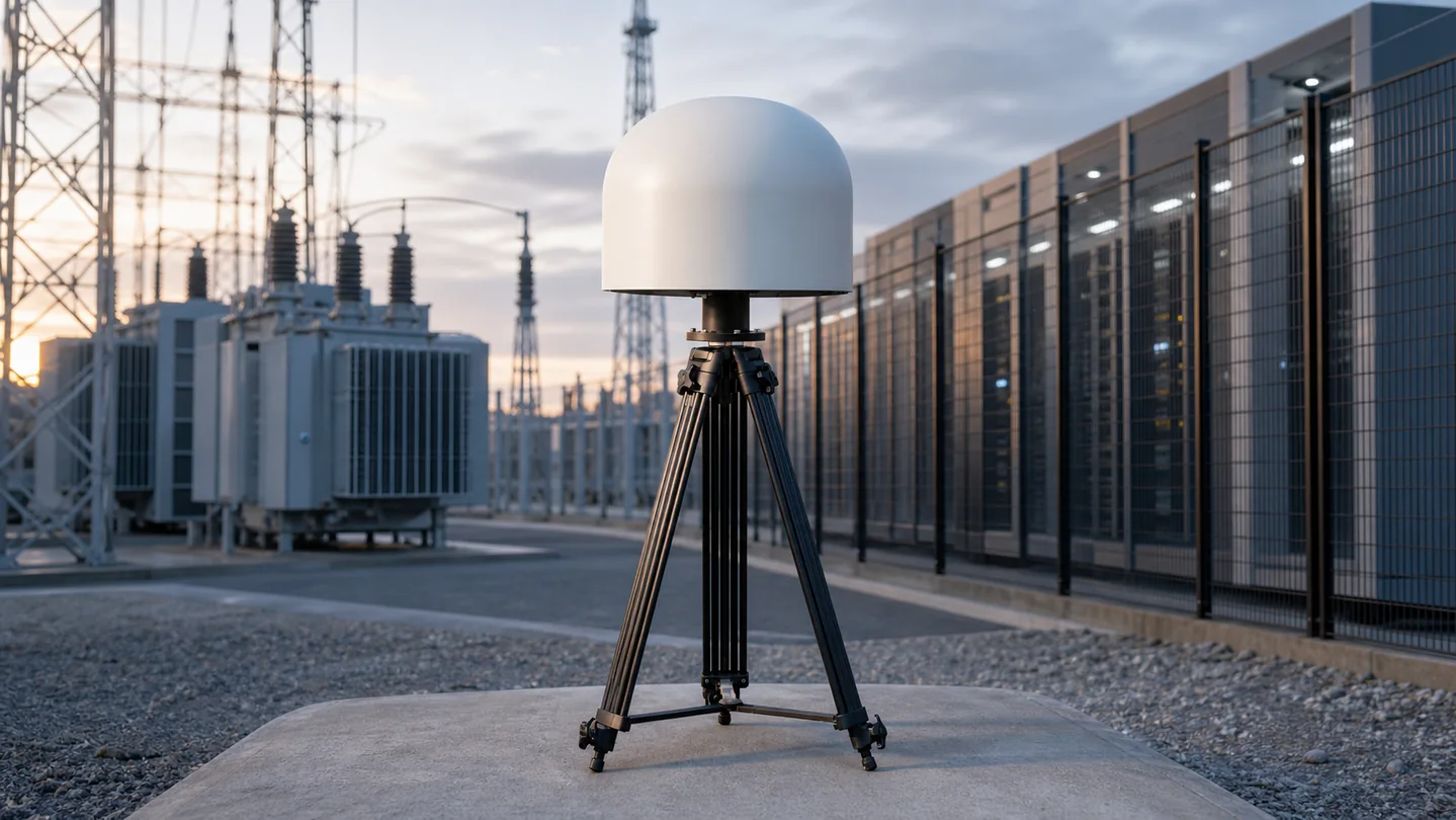
A layered drone detection and authorized response architecture for power plants, substations, energy sites, data centers and other high-value facilities.
View Solution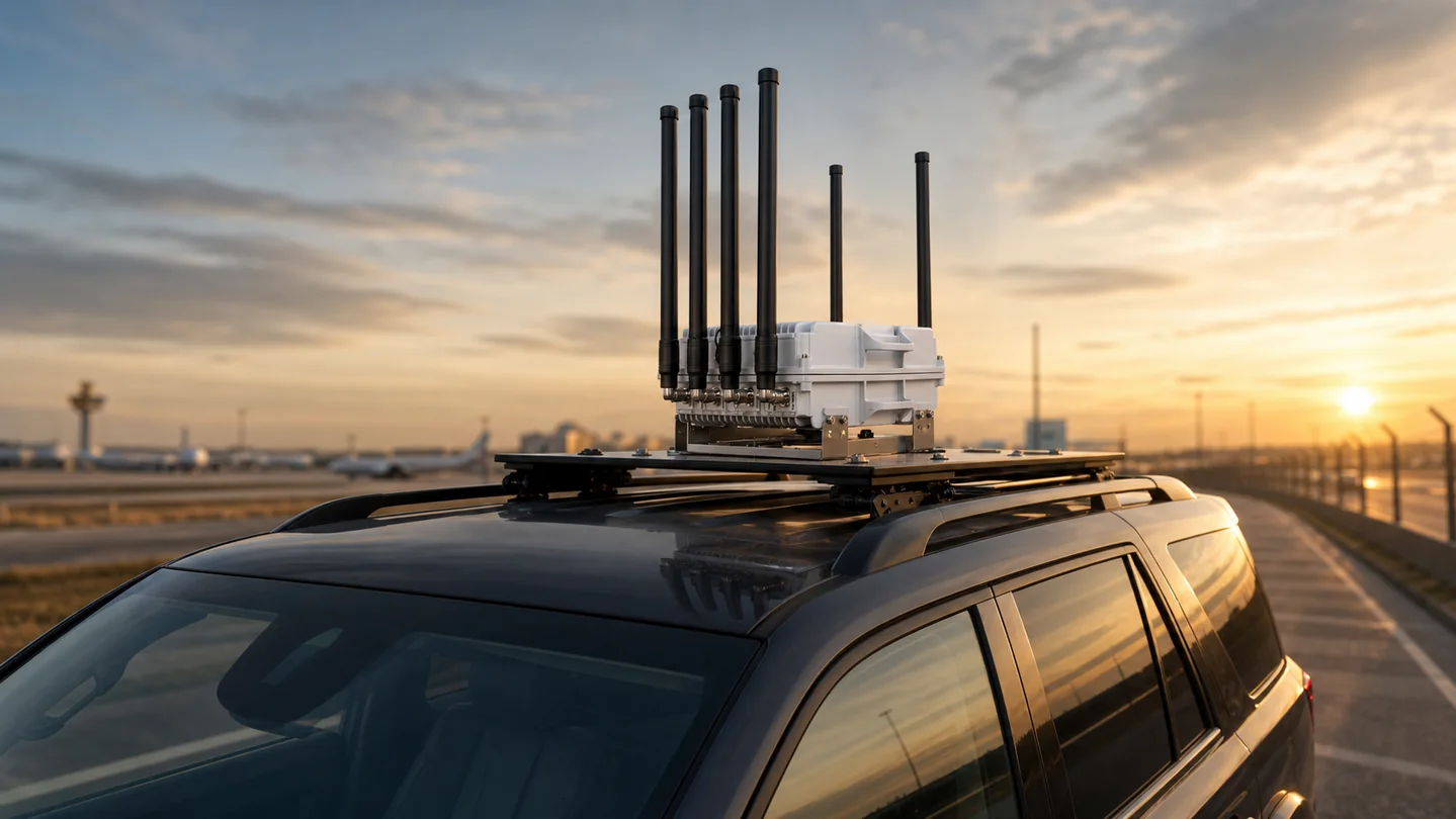
A mobile detection, command and authorized response package for patrols, convoys, temporary sites and rapidly changing security missions.
View Solution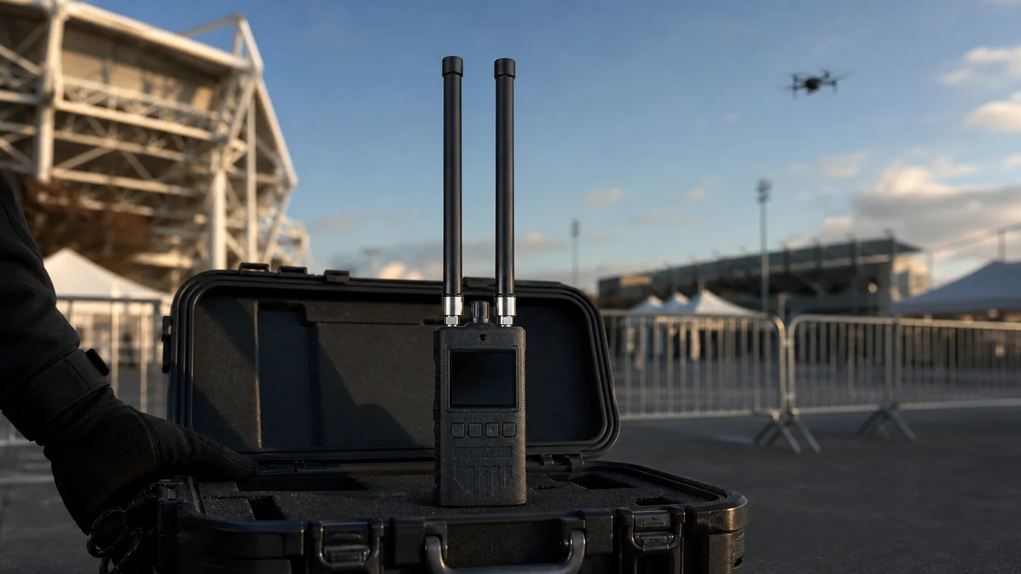
Layered RF, radar, optical and authorized response options for low, fast and short-warning FPV drone threats.
View Solution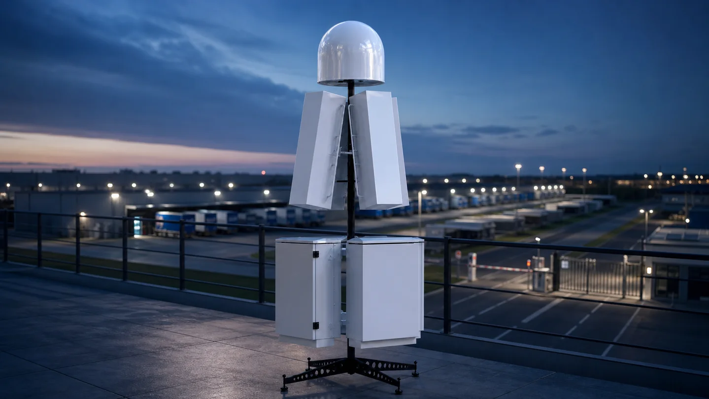
Connect drone detection, verification, command software and legally authorized jamming equipment in one controlled counter-UAS workflow.
View Solution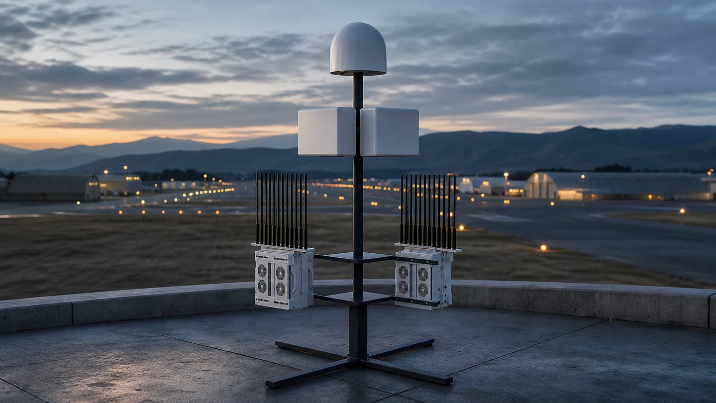
A layered fixed-site and mobile counter-UAS architecture for perimeter awareness, sensitive zones, patrol support and controlled response.
View Solution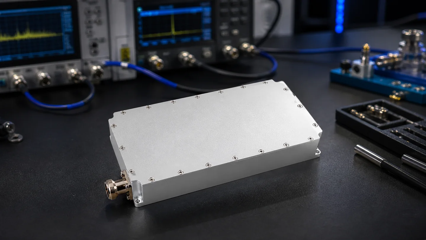
Custom drone detection, jamming, RF module and integrated counter-UAS development for distributors, integrators and private-label projects.
View Solution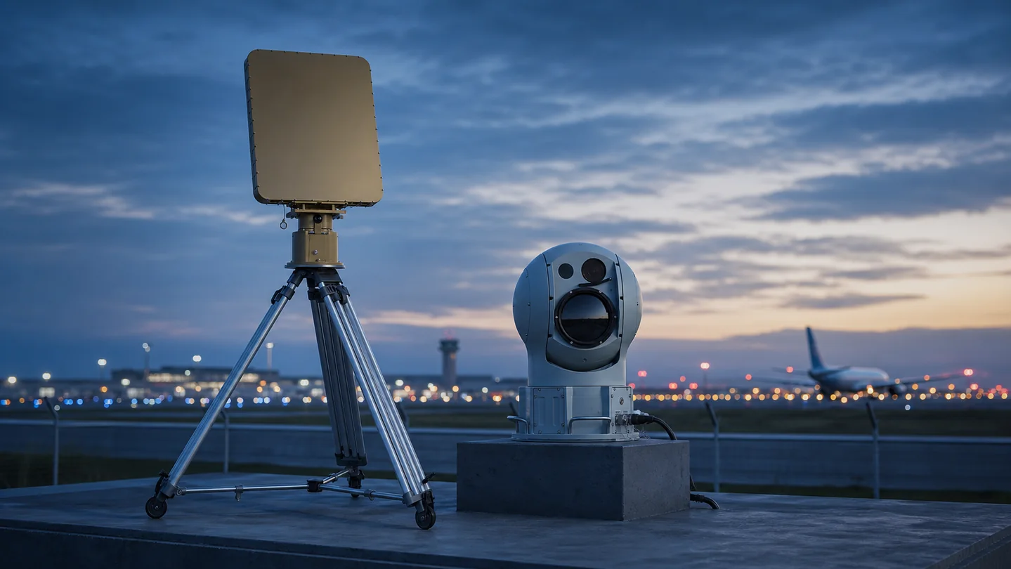
A procurement and deployment guide for layered drone detection, verification, command and legally authorized response around airports.
View Solution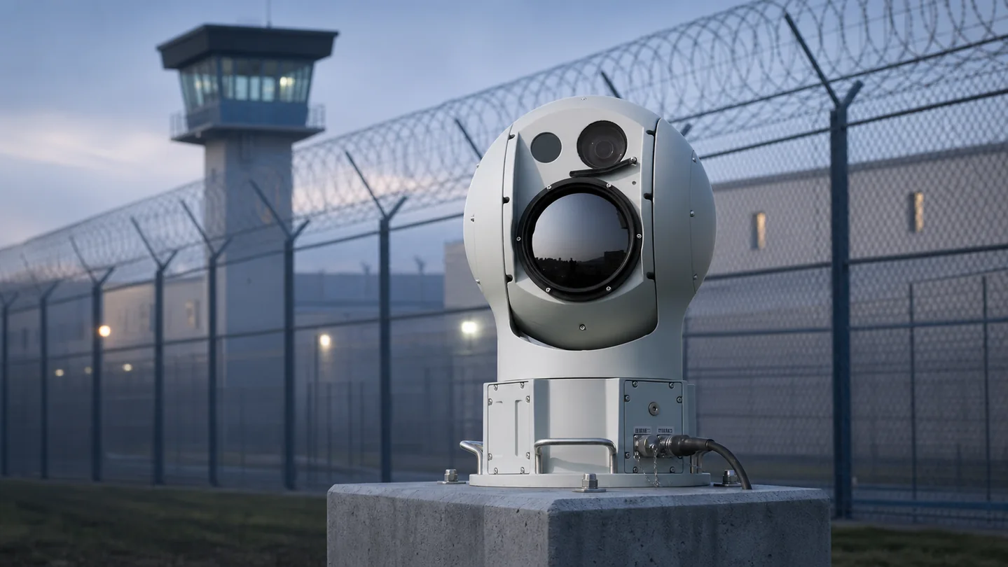
A layered counter-UAS procurement guide for detecting, verifying and managing drone activity around prisons and restricted perimeters.
View Solution
A procurement guide for fixed, mobile and relocatable counter-UAS coverage across remote borders and changing terrain.
View Solution
A counter-UAS procurement guide for refineries, terminals, pipelines, production sites and other energy infrastructure.
View Solution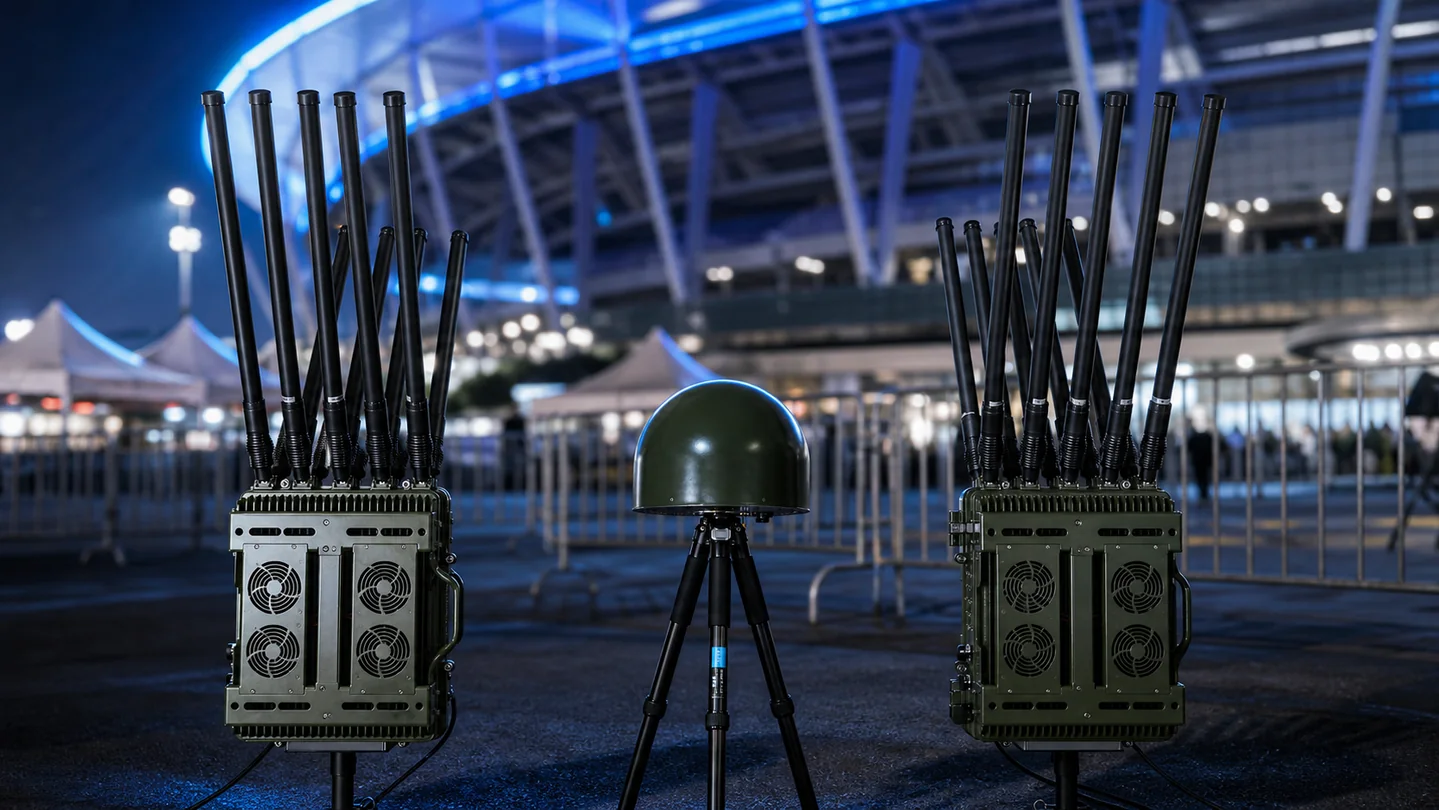
A temporary counter-UAS planning guide for stadiums, conferences, public events, VIP venues and rapidly changing security operations.
View SolutionA useful proposal starts with the protected site and operating constraints—not a fixed equipment list.
Define the protected area, expected drone activity, terrain, line of sight and required coverage.
Compare RF sensing, radar and EO/IR verification according to target type and surrounding conditions.
Match portable or fixed response equipment to the approved operating workflow and local rules.
Confirm power, network, command software, interfaces, deployment points and acceptance criteria.
Share the protected site type, approximate area, target drone profile, required detection or response range, deployment method, integration needs and applicable operating restrictions.
RF sensing, radar and EO/IR tracking can be combined when a project needs broader awareness, target verification or layered coverage. The correct mix depends on the site and threat profile.
Yes. A project can connect detection sensors, command software and authorized response equipment, subject to interface requirements and local legal approval.
Project options can include frequency-band selection, enclosure and antenna matching, software or interface requirements, branding and deployment-specific integration.
Send the protected area, target profile, coverage requirement and integration scope. The team will recommend a practical system architecture.

Shenzhen Jianhong Industrial Co., Ltd.
Professional low-altitude security and RF technology solution provider, offering integrated detection, monitoring, signal management, RF modules and customized OEM/ODM services.