Coverage & Site Survey
Provide site boundaries, installation height, terrain, nearby structures and expected approach directions for meaningful radar coverage planning.
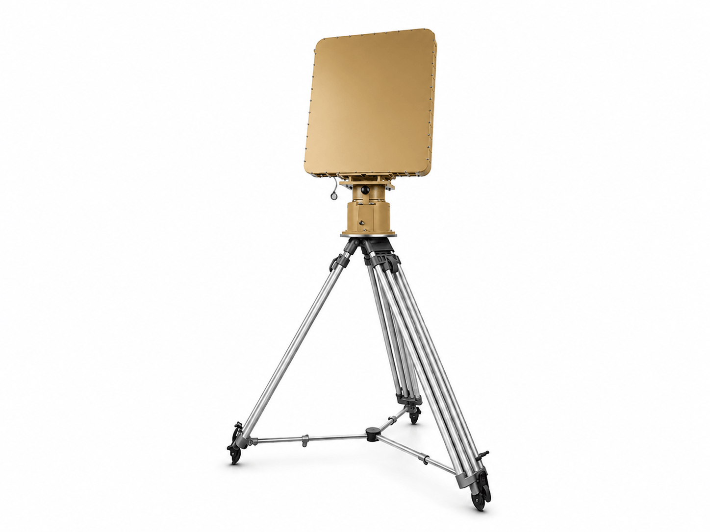
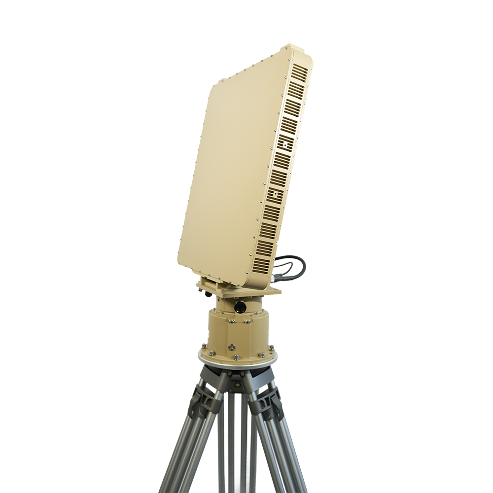
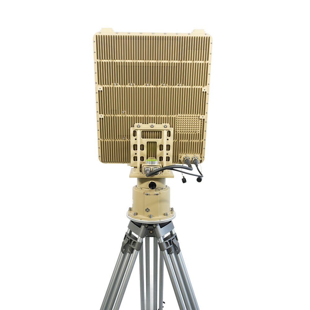
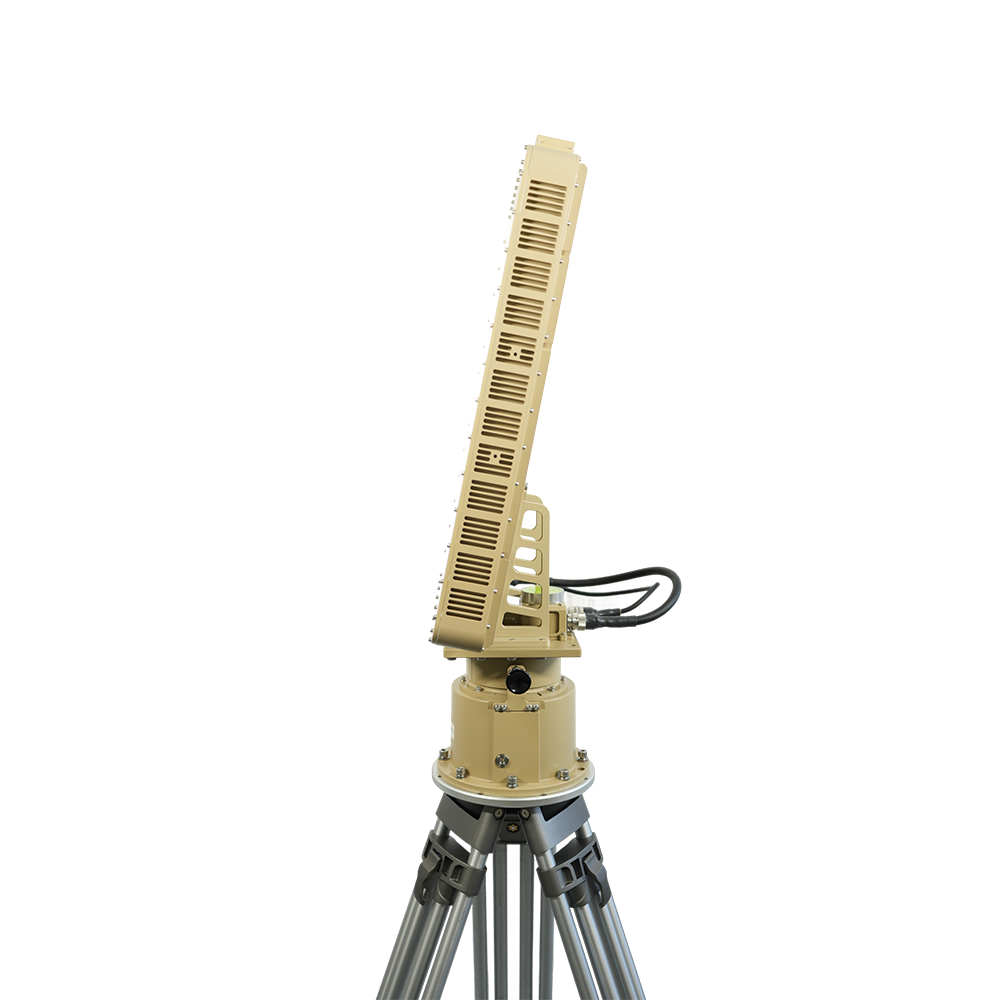
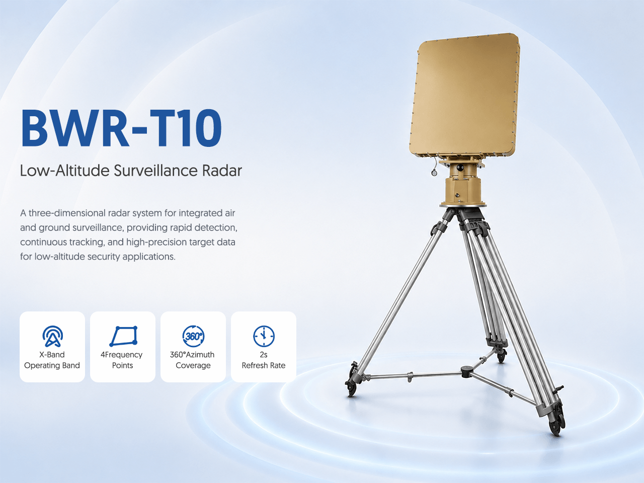
A three-dimensional radar system for integrated air and ground surveillance, providing rapid detection, continuous tracking, and high-precision target data for low-altitude security applications.
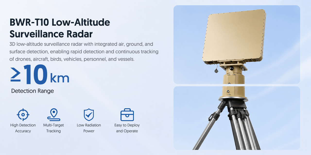
3D low-altitude surveillance radar with integrated air, ground, and surface detection, enabling rapid detection and continuous tracking of drones, aircraft, birds, vehicles, personnel, and vessels.
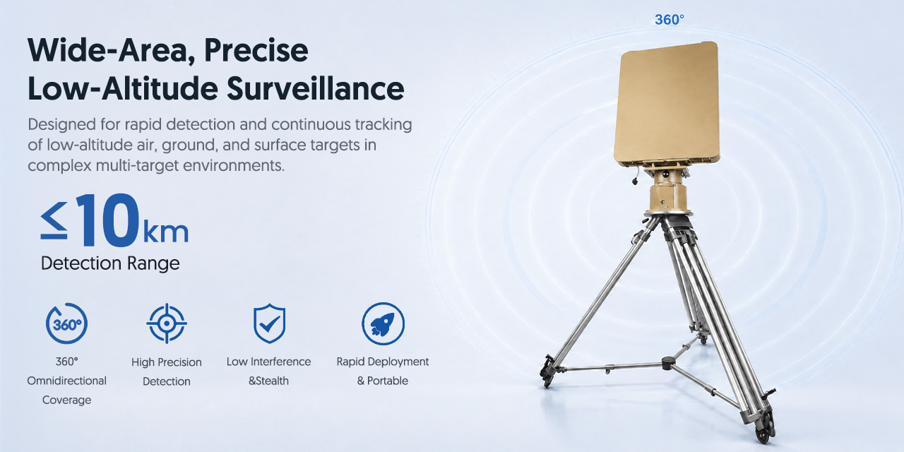
Designed for rapid detection and continuous tracking of low-altitude air, ground, and surface targets in complex multi-target environments.
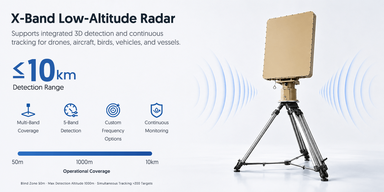
Supports integrated 3D detection and continuous tracking for drones, aircraft, birds, vehicles, and vessels.
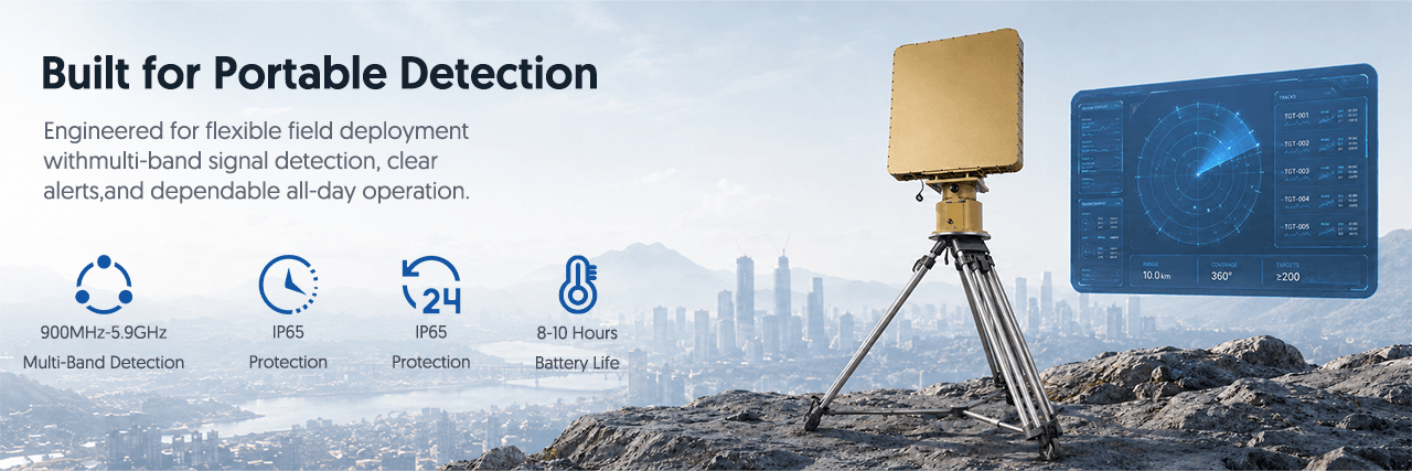
Engineered for continuous fixed-site surveillance with 360-degree coverage, rapid target updates, multi-target tracking, and outdoor environmental protection.
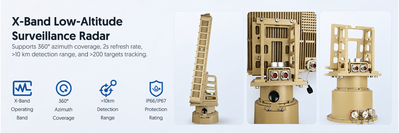
Supports 360° azimuth coverage, 2s refresh rate, >10 km detection range, and >200 targets tracking.
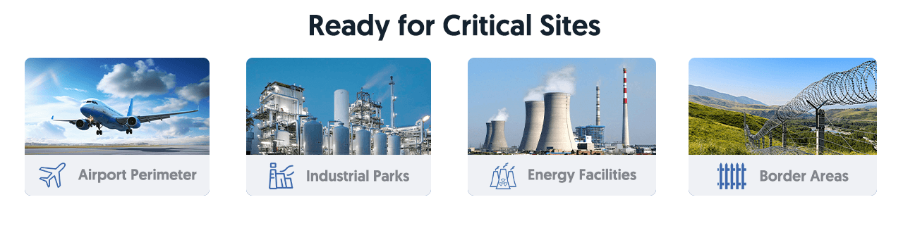
Suitable for fixed-site low-altitude security applications where wide-area surveillance, rapid detection, and continuous multi-target tracking are required.
The T10 Low-Altitude Drone Detection Radar is designed for fixed-site surveillance of drones and other small aerial targets. It provides long-range monitoring for protected airspace where continuous detection, tracking, and early warning are required.
For critical infrastructure and high-security locations, radar detection helps cover larger areas and supports security teams in assessing suspicious low-altitude activity. T10 is suitable for 24/7 operation in demanding outdoor environments.
Recommended applications include airports, borders, coastal areas, industrial zones, military facilities, government compounds, energy sites, and other locations that need continuous low-altitude surveillance and drone detection coverage.
| Product Name | T10 Low-Altitude Drone Detection Radar |
| Radar Type | 3D low-altitude surveillance radar |
| Operating Band | X-Band |
| Frequency Points | 4 frequency points |
| Azimuth Coverage | 360° |
| Refresh Rate | 2s |
| Detection Range | ≥10km |
| Tracked Targets | >200 targets |
| Protection | IP66 / IP67 |
| Operation | 24/7 fixed-site monitoring |
| Targets | Drones, aircraft, birds, vehicles, personnel and vessels |
| Applications | Airports, borders, coastal areas, industrial zones, military facilities, critical infrastructure |
Drone Detection Radar Project Guide
T10 is a three-dimensional X-band low-altitude surveillance radar for fixed-site drone detection and tracking. Its published specification lists 360-degree azimuth coverage, a 2-second refresh rate, detection at 10 km or more under stated conditions, and tracking for more than 200 targets.
Provide site boundaries, installation height, terrain, nearby structures and expected approach directions for meaningful radar coverage planning.
Define expected drone sizes, flight altitudes, speeds and required warning distance because radar performance varies with target and environment.
Confirm power, mast or platform, grounding, network backhaul, command-center location and environmental requirements for continuous operation.
Radar supplies tracks rather than visual identity. EO/IR and RF sensors can support classification, evidence and operator confidence.
Technical & Procurement Questions
T10 is designed for low-altitude surveillance of drones and other supported moving targets. Actual detection and classification depend on radar cross section, speed, altitude, terrain, clutter and the selected operating configuration.
No single range applies to every target and site. The published figure is at least 10 km under stated conditions, while practical range depends on target size, radar cross section, altitude, line of sight, weather, clutter and installation.
The published specification lists 360-degree azimuth coverage, a 2-second refresh rate and simultaneous tracking of more than 200 targets. Final project performance should be checked against the required target set and site.
Radar primarily provides detection and track data. RF detection may support compatible signal or pilot-location analysis, while EO/IR can provide visual confirmation. A layered system is recommended when those functions are required.
Send a site map, protected area, target types, required warning range, preferred installation points, network and power conditions, integration needs, quantity, destination country and project schedule.
Share the site plan, target profile, required coverage and integration needs for a project-based proposal.
Recommendations based on your browsing history
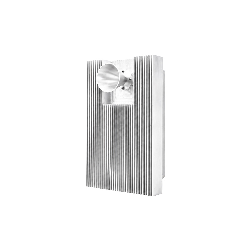
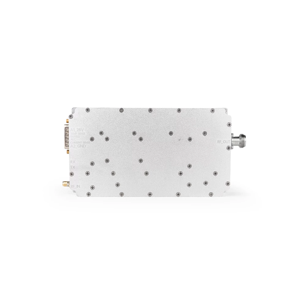
See how this equipment can be configured in complete counter-UAV projects.
Interested in this product? Fill out the form below and we'll get back to you within 24 hours.

Shenzhen Jianhong Industrial Co., Ltd.
Professional low-altitude security and RF technology solution provider, offering integrated detection, monitoring, signal management, RF modules and customized OEM/ODM services.