Search Intent Fit
For buyers searching for EOIR drone tracking system, confirm that the form factor, operating band, power or sensor architecture matches the project scenario before comparing price.
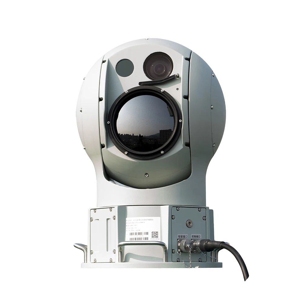
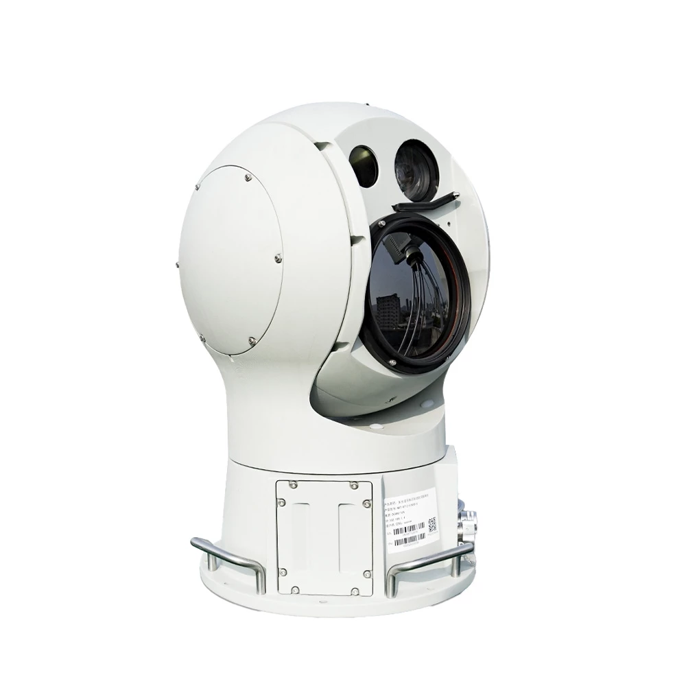
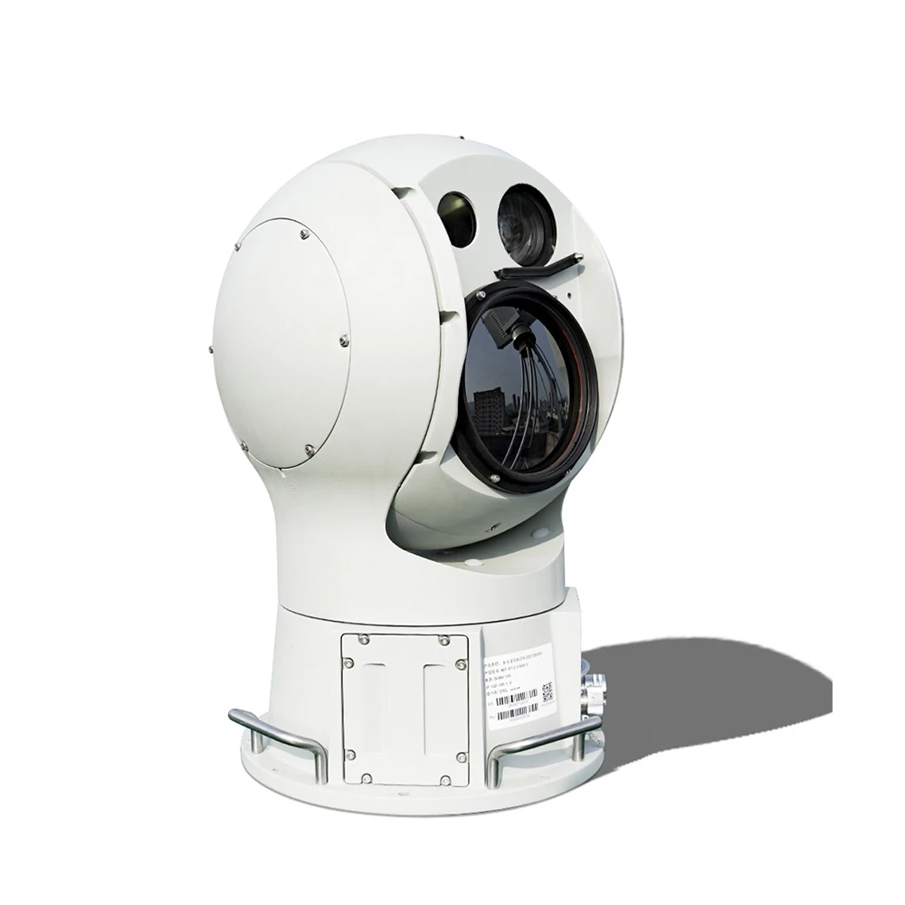
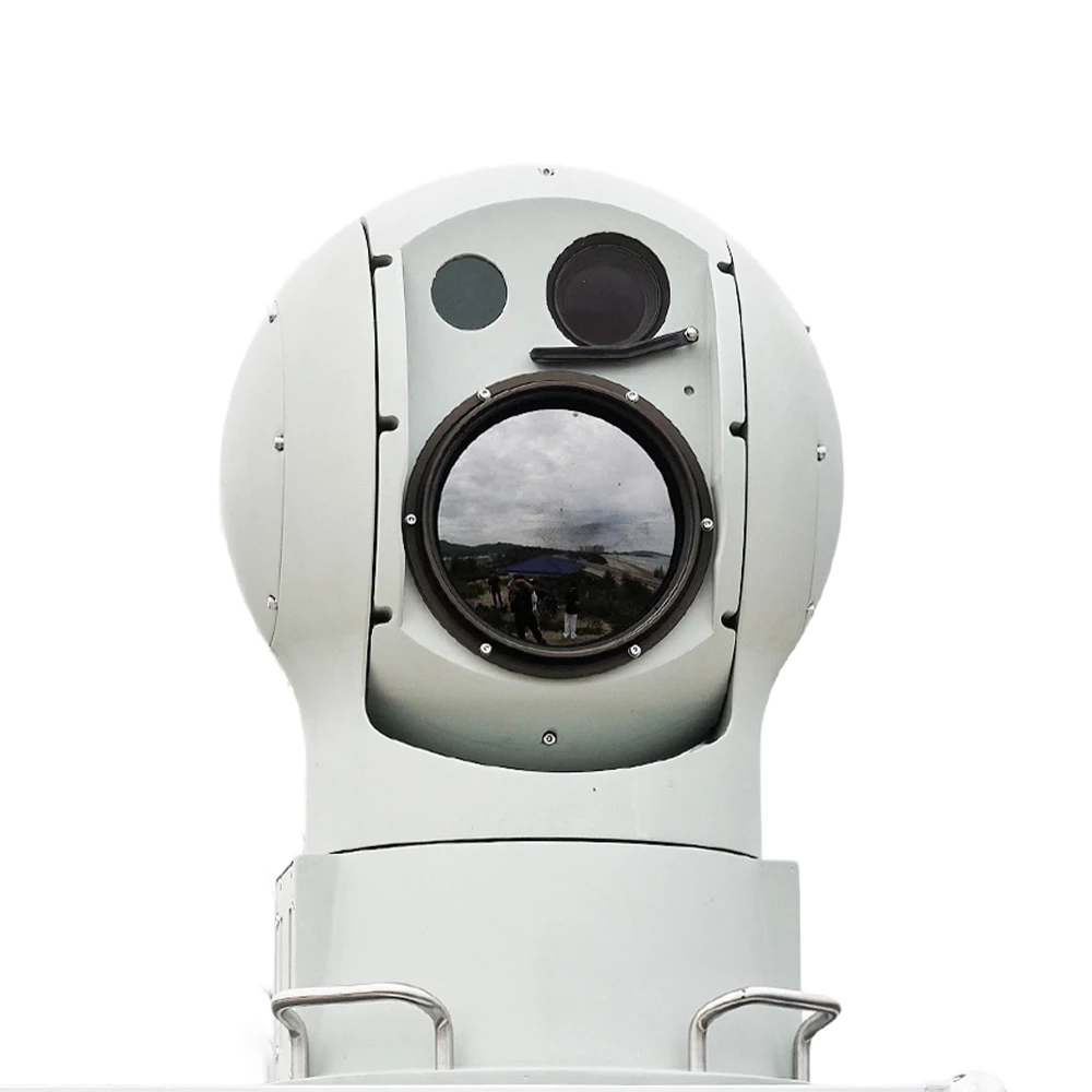
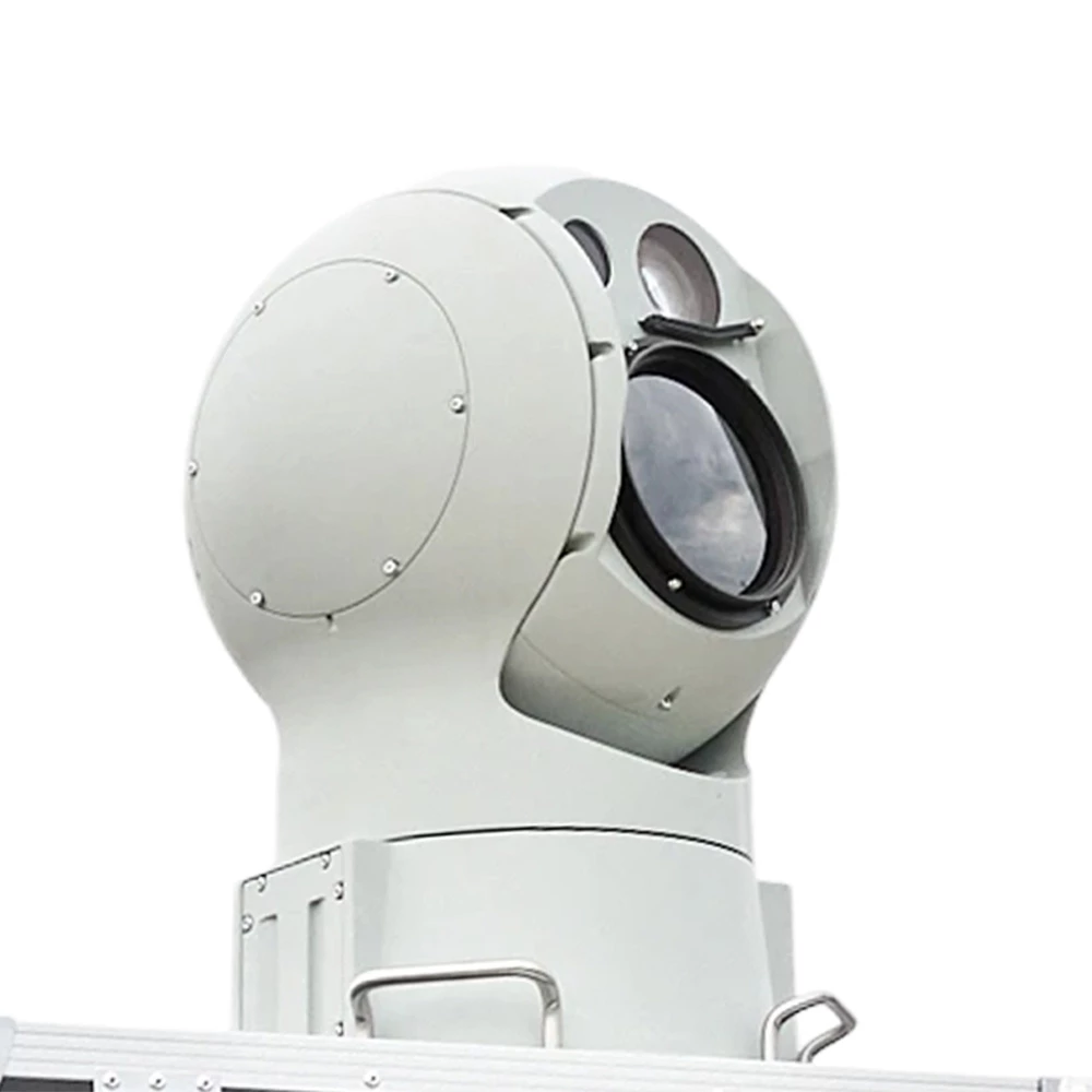
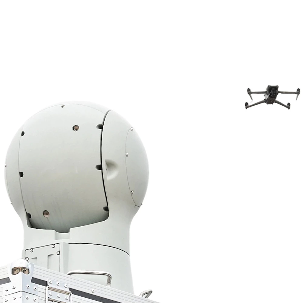
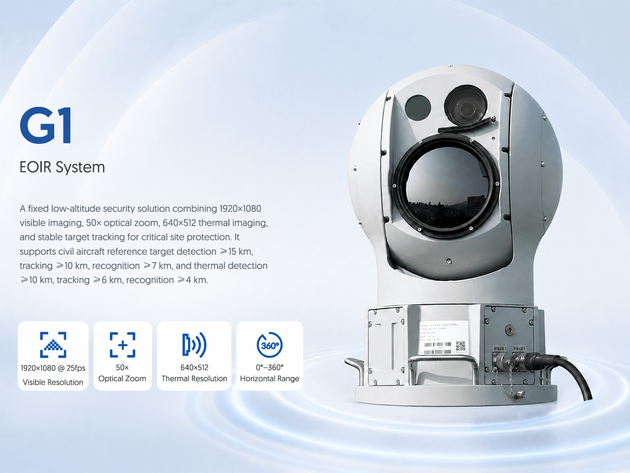
A fixed low-altitude security solution combining 1920×1080 visible imaging, 50× optical zoom, 640×512 thermal imaging, and stable target tracking for critical site protection. It supports civil aircraft reference target detection ≥15 km, tracking ≥10 km, recognition ≥7 km, and thermal detection ≥10 km, tracking ≥6 km, recognition ≥4 km.
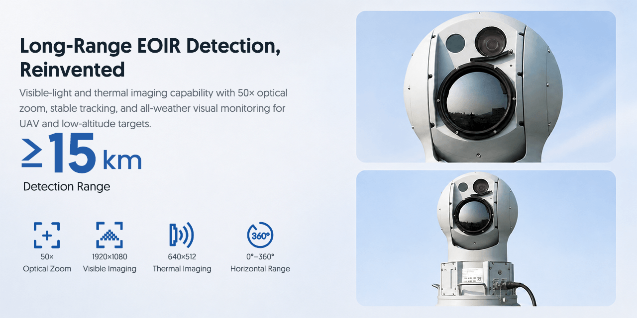
Visible-light and thermal imaging capability with 50× optical zoom, stable tracking, and all-weather visual monitoring for UAV and low-altitude targets.
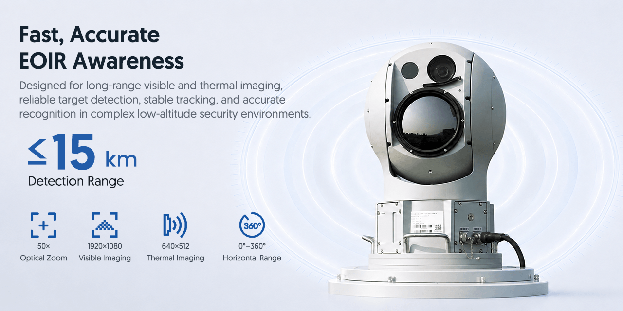
Designed for long-range visible and thermal imaging, reliable target detection, stable tracking, and accurate recognition in complex low-altitude security environments.
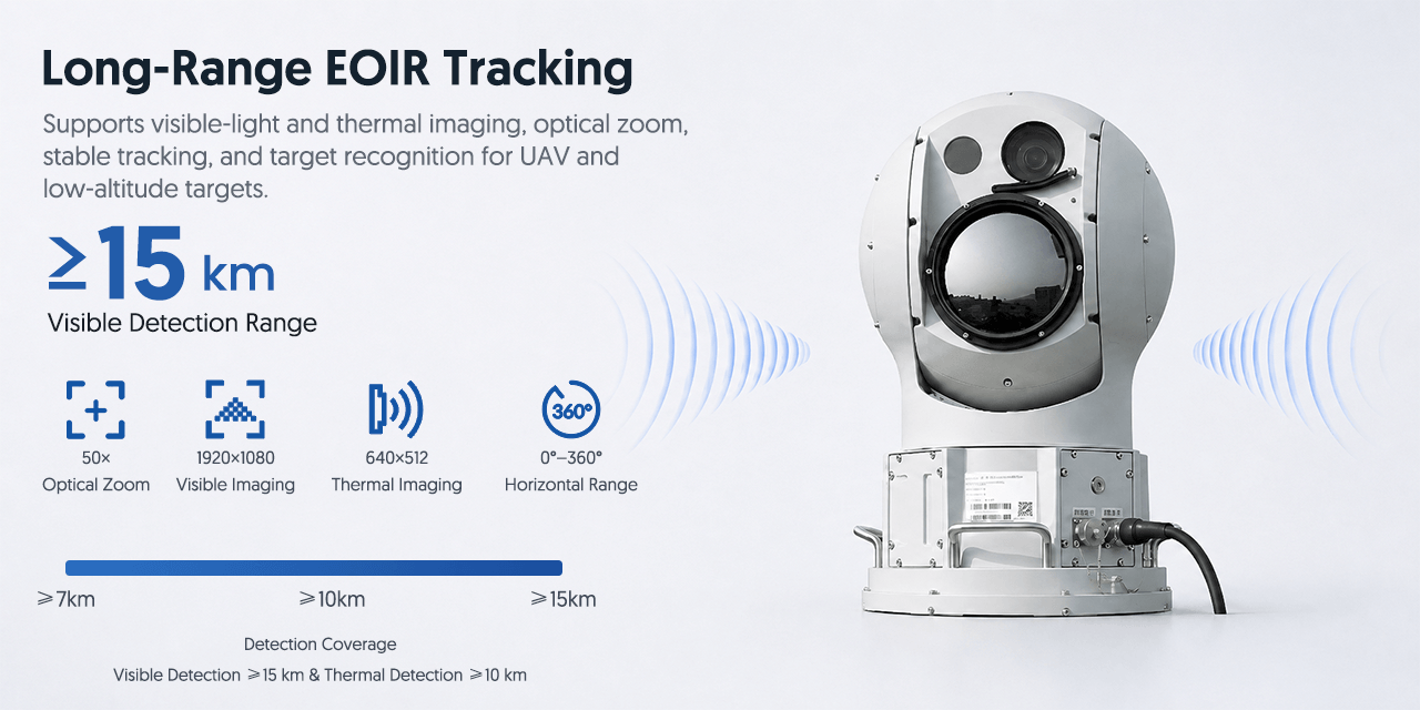
Supports visible-light and thermal imaging, optical zoom, stable tracking, and target recognition for UAV and low-altitude targets.
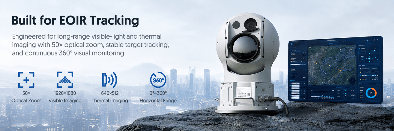
Engineered for long-range visible-light and thermal imaging with 50× optical zoom, stable target tracking, and continuous 360° visual monitoring.
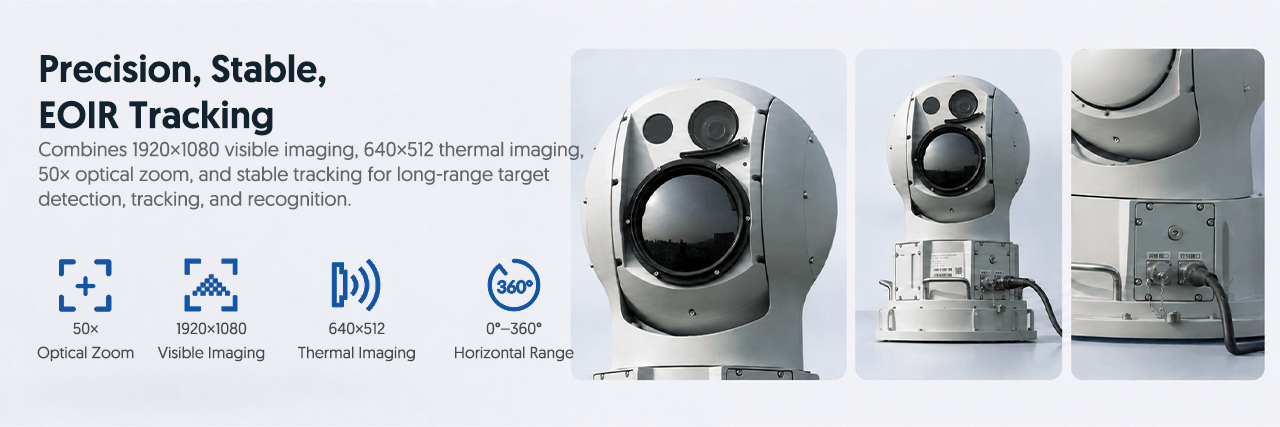
Combines 1920×1080 visible imaging, 640×512 thermal imaging, 50× optical zoom, and stable tracking for long-range target detection, tracking, and recognition.

Suitable for fixed low-altitude security scenarios where long-range EOIR detection, visible-light imaging, thermal imaging, stable tracking, and visual monitoring are required.
The G1 EOIR Drone Tracking System is designed for low-altitude visual surveillance and target tracking. It combines 1920×1080 visible imaging, 50× optical zoom, 640×512 thermal imaging, and stable tracking capability for critical-site protection. G1 is suitable for airport security, border observation, industrial facilities, command centers, perimeter monitoring, and integrated anti-drone systems.
For B2B projects, this system can be configured for site conditions, deployment method, operational workflow, and integration requirements.
| Product Name | G1 EOIR Drone Tracking System |
| System Type | Visible and thermal EOIR drone tracking system |
| Visible Imaging | 1920×1080 @ 25fps |
| Optical Zoom | 50× |
| Thermal Imaging | 640×512 |
| Horizontal Range | 0°–360° |
| Visible Detection | ≥15km |
| Visible Tracking | ≥10km |
| Visible Recognition | ≥7km |
| Thermal Detection | ≥10km |
| Thermal Tracking | ≥6km |
| Thermal Recognition | ≥4km |
| Applications | Airport security, border observation, industrial facilities, command centers |
Counter-UAS System Project Guide
The G1 EOIR Drone Tracking System is designed for low-altitude visual surveillance and target tracking. It combines 1920×1080 visible imaging, 50× optical zoom, 640×512 thermal imaging, and stable tracking capability for critical-site protection. G1 is suitable for airport security, border observation, industrial facilities, command centers, perimeter monitoring, and integrated anti-drone systems. Buyers comparing EOIR drone tracking system can use this page to review application fit, visible specifications and B2B quotation inputs. Key listed specifications include Product Name: G1 EOIR Drone Tracking System; S
For buyers searching for EOIR drone tracking system, confirm that the form factor, operating band, power or sensor architecture matches the project scenario before comparing price.
Define the protected area, expected targets, terrain, operating environment and required warning time.
Select the sensing, verification, command and authorized response layers required for the mission.
Specify alarm handling, operator roles, networking, APIs and links to existing security systems.
Confirm installation, training, maintenance, documentation, quantity, destination and project schedule.
Review the published values on this page, including Product Name: G1 EOIR Drone Tracking System; System Type: Visible and thermal EOIR drone tracking system; Visible Imaging: 1920×1080 @ 25fps, then confirm final configuration, test conditions and documentation with the technical team.
Send the application, technical requirements, quantity and destination country for EOIR drone tracking system review and a B2B quotation.
Recommendations based on your browsing history
See how this equipment can be configured in complete counter-UAV projects.
Interested in this product? Fill out the form below and we'll get back to you within 24 hours.

Shenzhen Jianhong Industrial Co., Ltd.
Professional low-altitude security and RF technology solution provider, offering integrated detection, monitoring, signal management, RF modules and customized OEM/ODM services.