ภัยคุกคามและเซนเซอร์
ระบุโดรนเป้าหมาย ลักษณะสัญญาณ และความต้องการ RF เรดาร์ EO/IR หรือระบบหลายเซนเซอร์
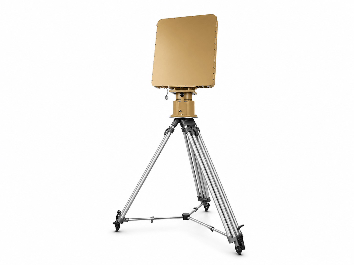
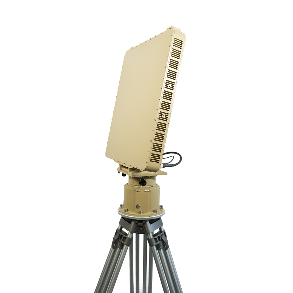
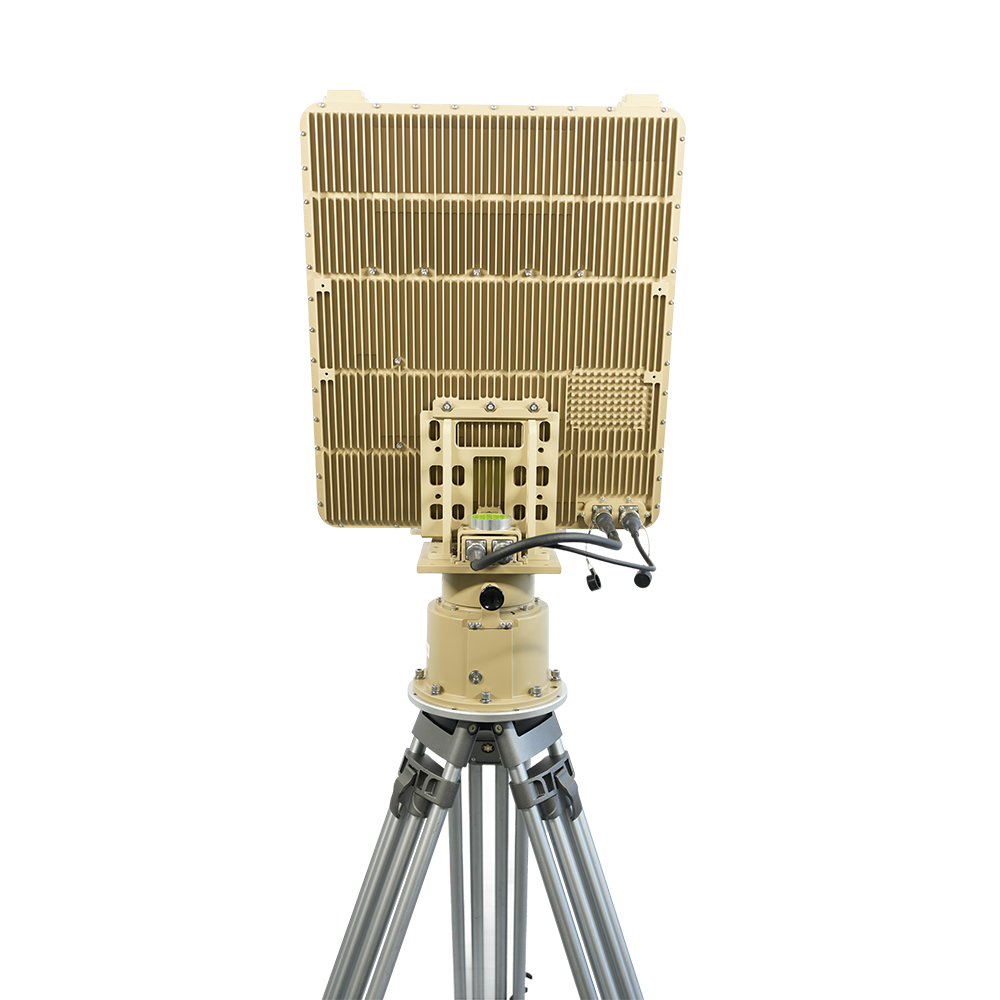
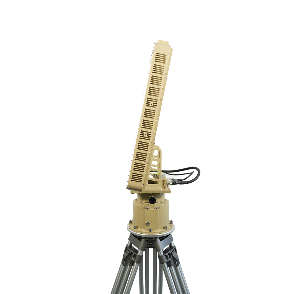
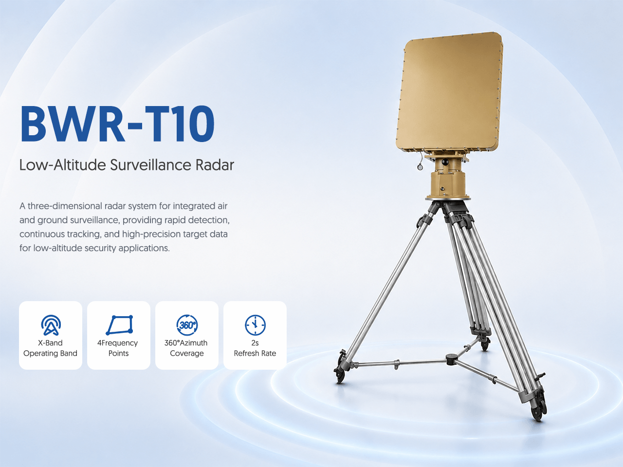
ระบบเรดาร์สามมิติสำหรับการเฝ้าระวังทางอากาศและภาคพื้นแบบบูรณาการ ให้การตรวจจับรวดเร็ว การติดตามต่อเนื่อง และข้อมูลเป้าหมายความแม่นยำสูงสำหรับงานรักษาความปลอดภัยระดับต่ำ
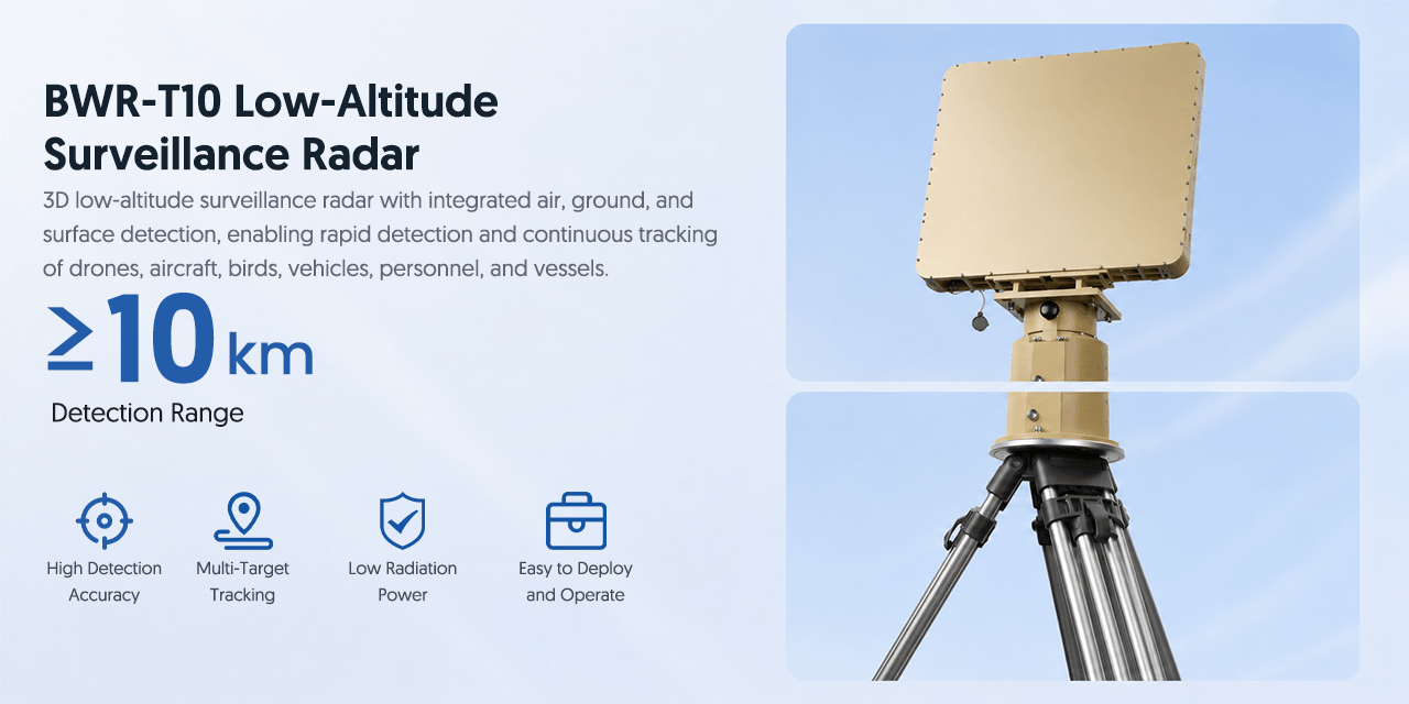
เรดาร์เฝ้าระวังระดับต่ำแบบ 3D พร้อมการตรวจจับทางอากาศ ภาคพื้น และพื้นผิวแบบบูรณาการ ช่วยตรวจจับและติดตามโดรน เครื่องบิน นก ยานพาหนะ บุคคล และเรือได้อย่างต่อเนื่อง
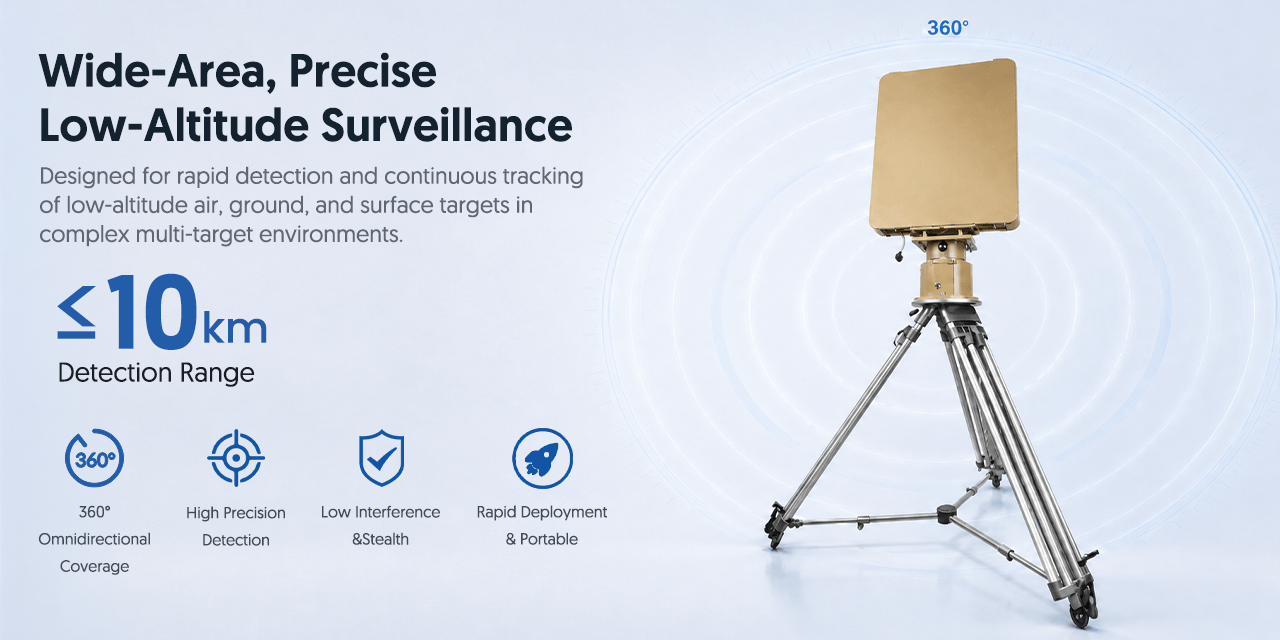
ออกแบบมาเพื่อตรวจจับอย่างรวดเร็วและติดตามเป้าหมายทางอากาศ ภาคพื้น และพื้นผิวระดับต่ำอย่างต่อเนื่องในสภาพแวดล้อมหลายเป้าหมาย
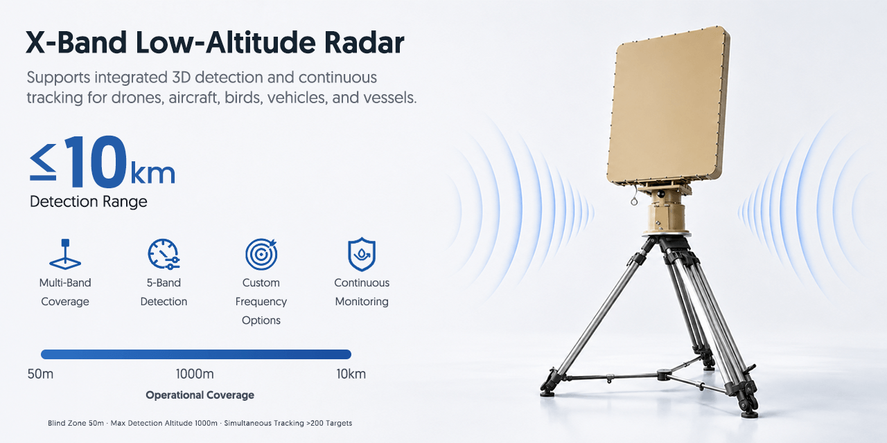
รองรับการตรวจจับ 3D แบบบูรณาการและการติดตามต่อเนื่องสำหรับโดรน เครื่องบิน นก ยานพาหนะ และเรือ
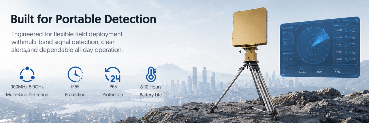
ออกแบบมาเพื่อการปรับใช้ภาคสนามที่ยืดหยุ่นด้วยการตรวจจับสัญญาณหลายแบนด์การแจ้งเตือนที่ชัดเจนและการทำงานตลอดทั้งวันที่เชื่อถือได้
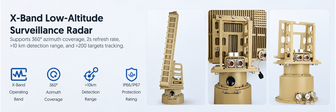
รองรับการครอบคลุมมุมทิศ 360° อัตรารีเฟรช 2 วินาที ระยะตรวจจับ >10 กม. และติดตามเป้าหมายได้มากกว่า 200 เป้าหมาย
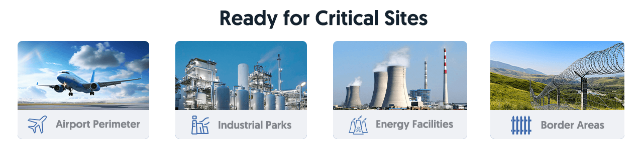
เหมาะสำหรับงานรักษาความปลอดภัยระดับต่ำแบบติดตั้งประจำที่และเคลื่อนที่ที่ต้องการการเฝ้าระวังพื้นที่กว้าง การตรวจจับรวดเร็ว และการติดตามหลายเป้าหมายอย่างต่อเนื่อง
T10 Low-Altitude Drone Detection Radar ออกแบบมาสำหรับการเฝ้าระวังโดรนและเป้าหมายทางอากาศขนาดเล็กแบบประจำที่ ให้การตรวจสอบระยะไกลสำหรับน่านฟ้าที่ได้รับการป้องกันซึ่งต้องการการตรวจจับต่อเนื่อง การติดตาม และการเตือนล่วงหน้า
สำหรับโครงสร้างพื้นฐานสำคัญและพื้นที่ความปลอดภัยสูง การตรวจจับด้วยเรดาร์ช่วยครอบคลุมพื้นที่กว้างขึ้นและสนับสนุนทีมรักษาความปลอดภัยในการประเมินกิจกรรมระดับต่ำที่น่าสงสัย T10 เหมาะสำหรับการทำงาน 24/7 ในสภาพแวดล้อมภายนอกที่ท้าทาย
เหมาะสำหรับสนามบิน ชายแดน พื้นที่ชายฝั่ง เขตอุตสาหกรรม สถานที่ทางทหาร หน่วยงานรัฐ โรงงานพลังงาน และพื้นที่อื่น ๆ ที่ต้องการการเฝ้าระวังระดับต่ำและการตรวจจับโดรนอย่างต่อเนื่อง
| Product Name | T10 เรดาร์ตรวจจับโดรนระดับต่ำ |
| Radar Type | 3D low-altitude surveillance radar |
| Operating Band | X-Band |
| Frequency Points | 4 frequency points |
| Azimuth Coverage | 360° |
| Refresh Rate | 2s |
| Detection Range | ≥10km |
| Tracked Targets | >200 targets |
| Protection | IP66 / IP67 |
| Operation | 24/7 fixed-site monitoring |
| Targets | Drones, aircraft, birds, vehicles, personnel and vessels |
| Applications | Airports, borders, coastal areas, industrial zones, military facilities, critical infrastructure |
การประเมินอุปกรณ์ตรวจจับโดรน
T10 Low-Altitude Drone Detection Radar ออกแบบมาสำหรับการเฝ้าระวังโดรนและเป้าหมายทางอากาศระดับต่ำแบบประจำที่ตลอด 24/7 ช่วยให้ทีมรักษาความปลอดภัยตรวจจับ ติดตาม และประเมินกิจกรรม UAV ขนาดเล็กในน่านฟ้าที่ได้รับการป้องกัน ด้วยการตรวจจับเรดาร์ระยะไกล การทำงานต่อเนื่องที่เสถียร และความสามารถต้านสัญญาณรบกวนสูง T10 เหมาะสำหรับสนามบิน ความปลอดภัยชายแดน การเฝ้าระวังชายฝั่ง เขตอุตสาหกรรม สถานที่ทางทหาร และโครงสร้างพื้นฐานสำคัญ
ระบุโดรนเป้าหมาย ลักษณะสัญญาณ และความต้องการ RF เรดาร์ EO/IR หรือระบบหลายเซนเซอร์
ระบุพื้นที่ป้องกัน ภูมิประเทศ สิ่งกีดขวาง ความสูงติดตั้ง สภาพ RF และเวลาการแจ้งเตือน
กำหนดหน้าจอผู้ควบคุม เอาต์พุตแจ้งเตือน เครือข่าย API และการเชื่อมกับระบบรักษาความปลอดภัย
ให้ข้อมูลพื้นที่ รูปแบบเป้าหมาย จำนวน ประเทศปลายทาง กำหนดการ และเอกสารที่ต้องการ
ส่งรูปแบบการใช้งาน ข้อกำหนดทางเทคนิค จำนวน และประเทศปลายทาง เพื่อให้เราตรวจสอบการกำหนดค่าและจัดทำใบเสนอราคา B2B
คำแนะนำตามประวัติการเข้าชม
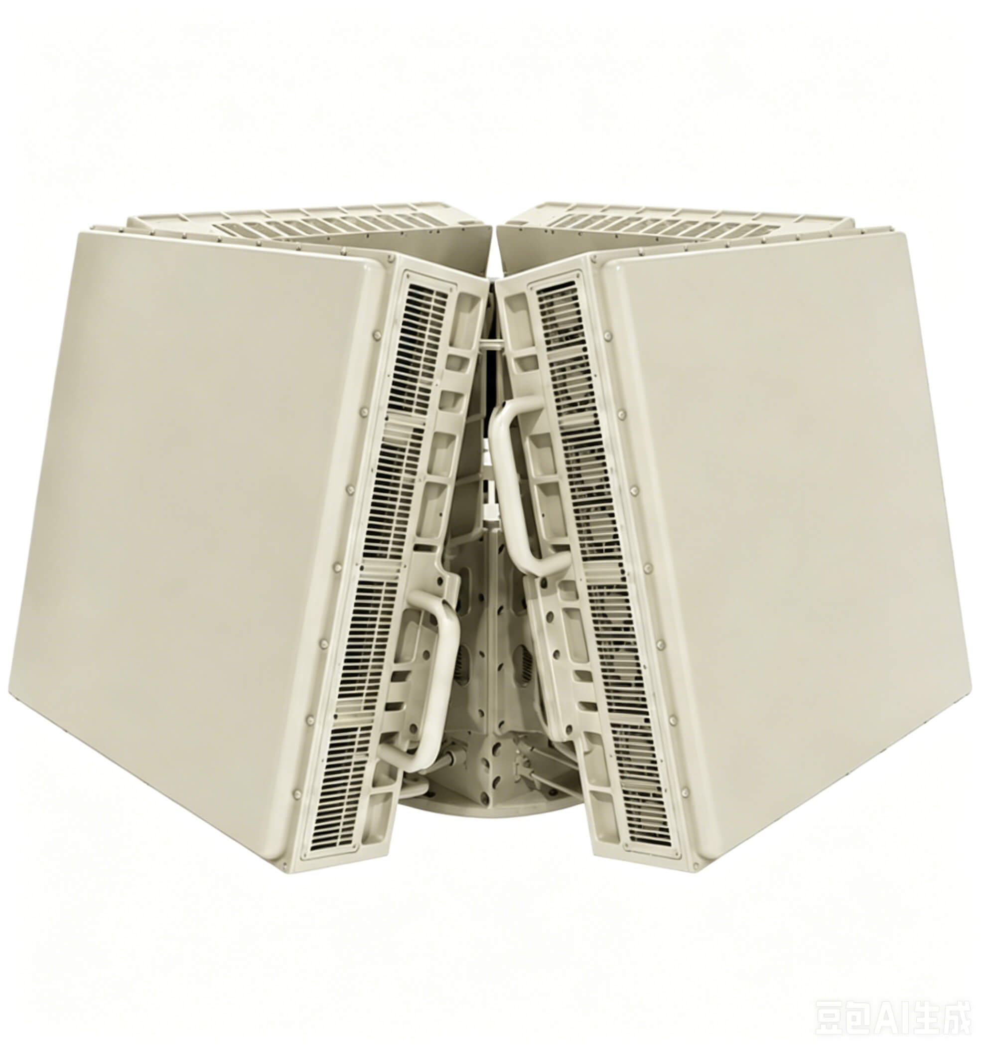
ดูว่าอุปกรณ์นี้สามารถกำหนดค่าในโครงการ counter-UAV แบบครบวงจรได้อย่างไร
สนใจสินค้านี้หรือไม่? กรอกแบบฟอร์ม แล้วเราจะติดต่อกลับภายใน 24 ชั่วโมง

บริษัท เซินเจิ้น เจียนหง อินดัสเทรียล จำกัด
ผู้ให้บริการโซลูชันความปลอดภัยระดับต่ำและเทคโนโลยี RF แบบมืออาชีพ