A border anti-drone solution must operate across long distances, uneven terrain, limited infrastructure and changing patrol priorities while preserving useful tracks for command and response teams.
Borders rarely allow continuous line of sight or easy access to power and networking. Buyers should divide the mission into priority corridors and design a mix of fixed, mobile and relocatable capability with clear coverage, communications and maintenance assumptions.
Executive Decision Summary
A practical border design should:
- Rank crossing corridors, observation gaps, critical posts and temporary operation areas.
- Combine fixed sensors at persistent hotspots with mobile assets for changing routes and intelligence.
- Account for ridges, valleys, vegetation, weather, power autonomy and backhaul limitations.
- Provide track, direction and evidence information that can be handed to patrol and command teams.
- Use remote health monitoring, spares and field-replaceable components to reduce service travel.
Border Threat and Operating Model
The threat model should connect drone behavior to terrain, route and patrol response.
| Operational concern | Why it matters | Information the buyer should define |
|---|---|---|
| Low flight through valleys or terrain folds | Terrain can mask the target and break continuous line of sight. | Digital terrain data, likely corridors, minimum detection points and handover between sites. |
| Cross-border surveillance or delivery | Targets may operate briefly and avoid known posts. | Priority assets, crossing routes, evidence requirements and coordination boundaries. |
| Mobile launch and recovery | The operator may change position quickly along roads or remote tracks. | Direction-finding objective, mobile team routes, road access and communications coverage. |
| Non-cooperative or autonomous target | RF-only detection may not observe a pre-programmed flight. | Radar coverage need, target sizes, clutter conditions and acceptable uncertainty. |
| Temporary hotspot or operation | Threat priority can shift faster than permanent infrastructure can be installed. | Relocatable deployment time, vehicle/power requirements, setup crew and remote command link. |
Define what happens when the target crosses between sectors or agencies; handover and common map coordinates are part of the system requirement.
Layered Counter-UAS Architecture
A dependable project is designed as a sequence of functions rather than a single appliance. Each layer should have a documented input, output, interface and operator responsibility.
| Layer | Required function | Procurement evidence |
|---|---|---|
| 1. Detect | Discover activity using RF sensing, radar or another approved sensor appropriate to the threat profile. | Supported target classes, frequency scope, update rate, coverage assumptions and known limitations. |
| 2. Verify | Correlate alerts with EO/IR, track history, operator observations and other approved data sources. | Day/night performance, slew-to-cue workflow, recording format and false-alarm handling. |
| 3. Command | Present tracks, alarms, health status and evidence in a controlled operating interface. | Map layers, user roles, audit logs, API or SDK documentation and cybersecurity controls. |
| 4. Decide | Apply the approved concept of operations and escalation rules. | Alarm priorities, operator permissions, decision records, notification paths and response time objectives. |
| 5. Respond | Use authorized non-kinetic, security or law-enforcement actions appropriate to the incident. | Legal authority, spectrum permission, safety interlocks, human authorization and post-event reporting. |
Border Corridor Coverage Model
Plan a network of operational cells rather than one continuous marketing radius.
| Zone | Recommended coverage objective | Typical design consideration |
|---|---|---|
| Persistent high-risk crossing | Continuous multi-sensor awareness around a known corridor. | Terrain shadow, mast height, power autonomy, redundant backhaul and maintenance access. |
| Remote observation post | Local alerting with secure transmission to a regional command center. | Bandwidth limits, edge processing, time sync, enclosure protection and remote diagnostics. |
| Mobile patrol sector | Rapidly deployable detection or authorized response supporting vehicle teams. | Road vibration, setup time, vehicle power, antenna clearance and moving operational boundaries. |
| Temporary intelligence hotspot | Relocatable coverage for a limited operation or changing route. | Tripod/mast setup, battery/generator duration, data connection, camouflage and recovery plan. |
| Regional command cell | Correlate tracks from multiple sites and coordinate patrol response. | Common coordinates, track handover, user permissions, map layers, API integration and evidence retention. |
Recommended JianHong Product Roles
The following products are starting points for configuration discussions. Final quantities, frequency coverage, interfaces and installation formats must be confirmed from a site survey and an approved concept of operations.
| Product | Role in this solution | When to shortlist it |
|---|---|---|
| BWR-A15 Low-Altitude Surveillance Radar | Low-altitude target detection and track support in suitable terrain sectors. | Shortlist for open corridors and non-cooperative target coverage. |
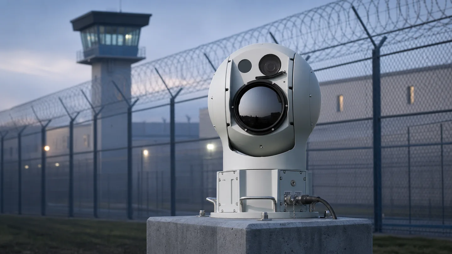
| G1 EO/IR Drone Tracking System | Visual/thermal verification and evidence capture. | Use at persistent posts where operators need day/night target confirmation. |
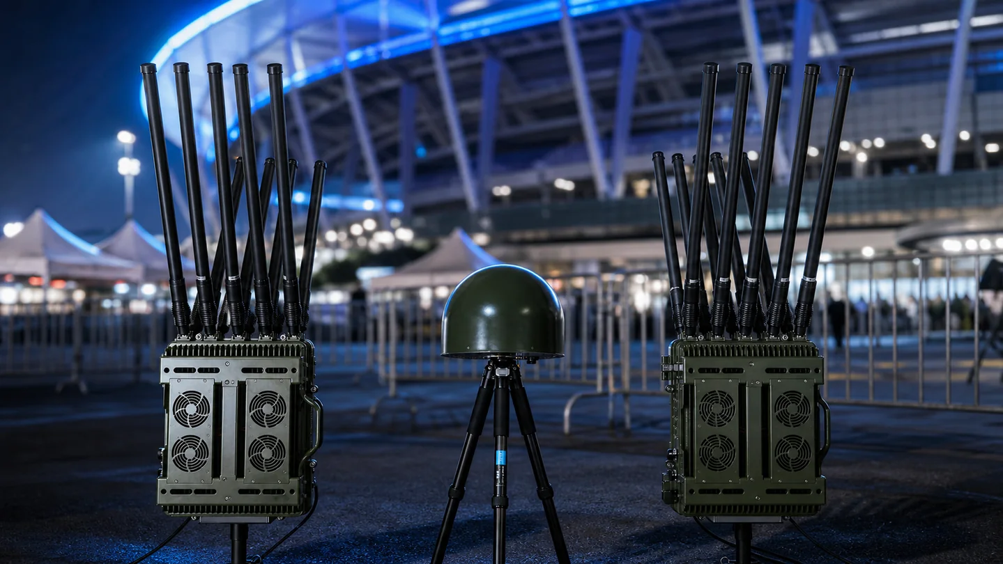
| X20 Mobile Anti-Drone System | Mobile detection, command and response support. | Use where threat corridors and patrol priorities change. |
| C6 Vehicle-Mounted Anti-Drone Jammer | Vehicle-integrated active-response option for authorized teams. | Consider only after band planning, legal authority and mobile operating safety are approved. |
| M6 Backpack UAV Countermeasure System | Dismounted portable response support. | Use for terrain that vehicles cannot reach and only within the authorized concept of operations. |
Technical Requirements to Put in the RFQ
A useful request for quotation describes the operating outcome and acceptance method, not only a product name. Ask bidders to respond against the same requirement matrix.
| Requirement group | Buyer input | Evidence requested from supplier |
|---|---|---|
| Threat definition | Drone types, links, likely routes, operating altitude, speed and autonomy concerns. | A compliance matrix explaining what is detectable, conditionally detectable or outside scope. |
| Coverage | Protected boundary, warning zones, terrain, structures, line of sight and required warning time. | Coverage drawing, sensor placement assumptions, blind-zone analysis and expansion options. |
| Environment | Temperature, rain, dust, wind, salt, vibration, lightning and power quality. | Environmental ratings, installation limits, thermal design and maintenance requirements. |
| Performance | Required alert latency, track continuity, direction finding, classification and evidence retention. | Test method, representative evidence, confidence conditions and documented limitations. |
| Integration | VMS, PSIM, GIS, command platform, network, time source and third-party interfaces. | Protocol list, API documentation, data ownership, cybersecurity architecture and version policy. |
| Lifecycle | Operating hours, support response, spares, training, warranty and expected service life. | Maintenance plan, remote diagnostics, spare-parts list, upgrade policy and support SLA. |
| Compliance | Destination, end user, import requirements, spectrum rules and operational authority. | Export screening, certificates, authorization dependencies and a clear division of responsibilities. |
Deployment and Integration Plan
Border deployment should combine terrain analysis, field trials, communications engineering and lifecycle planning.
- Rank corridors using incident data, intelligence, terrain, roads, settlements and critical assets.
- Survey line of sight, RF conditions, power, backhaul, lightning, wind, temperature and physical security.
- Choose fixed, mobile and relocatable roles and show how tracks hand over between sectors.
- Prototype representative high-risk and difficult-terrain cells before scaling the network.
- Test remote operations, bandwidth loss, power recovery, location accuracy and patrol notification.
- Prepare field maintenance, spares, firmware control, security hardening and seasonal access plans.
- Use performance evidence to expand priority cells rather than assuming uniform coverage.
Vegetation, snow, erosion, new structures, radio changes and changing crossing patterns can alter coverage; review the model seasonally.
FAT and SAT Acceptance Framework
Acceptance criteria should be agreed before manufacturing and installation. The project team should separate factory verification from performance testing at the real site.
| Test area | Factory acceptance test (FAT) | Site acceptance test (SAT) |
|---|---|---|
| Configuration | Verify models, quantities, interfaces, firmware, accessories and documentation before shipment. | Confirm installed assets, coordinates, calibration, network configuration and as-built drawings. |
| Detection workflow | Demonstrate sensor outputs and alarm processing with controlled inputs or representative targets. | Run agreed routes and scenarios across priority zones, including repeat passes and edge conditions. |
| Operator workflow | Verify user roles, alarm acknowledgement, evidence export and escalation logic. | Measure real operator actions, notification timing, handover and incident reporting. |
| Integration | Test documented APIs, data fields, time synchronization, health reporting and fault states. | Validate end-to-end exchange with the buyer’s operational systems and network policies. |
| Reliability | Conduct burn-in, restart, power recovery and component health checks. | Observe defined continuous operation, communications recovery and environmental behavior. |
| Training and handover | Review manuals, maintenance tools, spares and training materials. | Complete operator and maintainer training, competency checks and signed handover records. |
Record the test geometry, target type, route, altitude, weather, RF conditions, software version and operator actions. A single maximum-range demonstration is not a complete acceptance test.
Information to Send for a Project Proposal
Providing the following information helps engineering teams return a useful architecture instead of a generic equipment list:
- Border length, priority corridors, terrain model, roads, posts and temporary operating areas.
- Expected target types, altitudes, routes, autonomy and supported or unknown links.
- Required warning time, track handover and patrol response objectives.
- Fixed, vehicle and dismounted deployment preferences.
- Power autonomy, generator, solar, battery and recovery requirements.
- Available backhaul, bandwidth, encryption, network and remote-command constraints.
- Temperature, dust, rain, snow, wind, altitude and lightning exposure.
- Map, coordinate, command platform, API and evidence requirements.
- Authority scope and safety controls for any active response.
- Regional training, spares, field maintenance and support SLA.
Where security rules prevent sharing an exact drawing, provide an anonymized site plan with approximate distances, terrain, protected zones and installation constraints.
Common Procurement Mistakes
- Trying to cover the entire border uniformly before ranking operational corridors.
- Using flat-earth range estimates without terrain and mast-height analysis.
- Ignoring backhaul, power autonomy and remote maintenance in product selection.
- Buying fixed assets for a threat pattern that shifts between routes.
- Failing to test track and coordinate handover between sectors.
- Treating active response as a default feature without authority and cross-border risk review.
Related Procurement Guides
Frequently Asked Questions
Can one system cover a very long border?
A single site rarely provides uniform useful coverage across long, irregular terrain. Buyers normally prioritize corridors and combine fixed, mobile and relocatable cells.
How does terrain affect drone detection?
Ridges, valleys, vegetation and structures can block line of sight, change radar clutter and affect RF propagation. Site modeling and field trials are essential.
What is the best power source for remote sites?
It depends on duty cycle, climate, service access and load. Grid, generator, solar and battery combinations should be sized with recovery margin and remote health monitoring.
Can mobile systems share tracks with fixed sites?
Yes, if coordinates, time synchronization, data formats, network security and command workflows are designed for shared operations. Request API and integration evidence.
Should border systems include radar?
Radar can add value for non-cooperative targets, but its suitability depends on terrain, clutter, target profile, placement and budget. It should be evaluated as one layer.
What should border SAT test?
Test representative corridors, difficult terrain, mobile setup, power and backhaul loss, remote health monitoring, coordinate handover, operator workflow and environmental conditions.
Official Planning References
For projects connected to civil aviation or U.S. operations, review the FAA counter-UAS legal and policy resources and the FAA airport detection and mitigation guidance. International airport stakeholders can also consult the ICAO UAS intrusion protection material. These references do not replace local legal, spectrum, aviation, import or operational review.
Design a Fixed and Mobile Border Coverage Plan
Send priority corridor maps, terrain conditions, response objectives and infrastructure constraints for a phased fixed, mobile and relocatable architecture.