An airport anti-drone solution must protect approach corridors, runways, terminals and critical airside areas without creating new aviation, spectrum or operational risks.
Airports are complex environments: authorized aircraft, ground vehicles, buildings, radar, communications systems and multiple agencies all share the same operating space. The buyer therefore needs a coordinated detection and decision architecture, not an isolated jammer or an unverified maximum-range claim.
Executive Decision Summary
A strong airport project normally combines the following decisions:
- Define runway, approach, terminal, perimeter and public-side warning zones separately.
- Use complementary RF, radar and EO/IR capabilities where one sensing method cannot cover the full threat and clutter profile.
- Route alerts to trained operators with track correlation, evidence capture and clear escalation authority.
- Coordinate every installation and test with airport operations, aviation safety, air traffic stakeholders, spectrum management and law enforcement.
- Evaluate performance through repeated site scenarios, not a single supplier demonstration.
Airport Threat and Operating Model
The system requirement should distinguish safety-critical airspace events from nuisance reports, authorized drone activity and false alarms.
| Operational concern | Why it matters | Information the buyer should define |
|---|---|---|
| Drone near an approach or departure path | Short warning time and high consequence require rapid correlation and notification. | Approach sectors, minimum useful warning time, altitude bands and air traffic coordination process. |
| Drone around runway or taxiway areas | Ground and flight operations may need immediate situational awareness. | Runway geometry, airside access constraints, obstruction limits and operator response workflow. |
| Launch from public-side or perimeter locations | The launch point may be outside airport property and may move between incidents. | Public observation zones, direction-finding need, evidence retention and law-enforcement handoff. |
| Authorized airport or contractor UAS | The system must avoid treating approved flights as unmanaged threats. | Approval data, schedules, identification process, allow-list governance and audit trail. |
| Autonomous or non-cooperative target | RF-only sensing may be insufficient when a target emits no supported control link. | Need for radar or optical layers, target sizes and acceptable detection uncertainty. |
Airport detection data should support a shared operating picture, but an alert alone does not determine the pilot’s intent or authorize mitigation.
Layered Counter-UAS Architecture
A dependable project is designed as a sequence of functions rather than a single appliance. Each layer should have a documented input, output, interface and operator responsibility.
| Layer | Required function | Procurement evidence |
|---|---|---|
| 1. Detect | Discover activity using RF sensing, radar or another approved sensor appropriate to the threat profile. | Supported target classes, frequency scope, update rate, coverage assumptions and known limitations. |
| 2. Verify | Correlate alerts with EO/IR, track history, operator observations and other approved data sources. | Day/night performance, slew-to-cue workflow, recording format and false-alarm handling. |
| 3. Command | Present tracks, alarms, health status and evidence in a controlled operating interface. | Map layers, user roles, audit logs, API or SDK documentation and cybersecurity controls. |
| 4. Decide | Apply the approved concept of operations and escalation rules. | Alarm priorities, operator permissions, decision records, notification paths and response time objectives. |
| 5. Respond | Use authorized non-kinetic, security or law-enforcement actions appropriate to the incident. | Legal authority, spectrum permission, safety interlocks, human authorization and post-event reporting. |
Airport Coverage Zones and Sensor Placement
Model coverage in operational zones. The exact geometry is more useful than a marketing radius because terrain, terminals, hangars, towers and electromagnetic conditions affect every site differently.
| Zone | Recommended coverage objective | Typical design consideration |
|---|---|---|
| Approach and departure sectors | Early warning along priority flight paths. | Long sight lines, target altitude, off-airport placement, air navigation coordination and clutter. |
| Runway and taxiway area | Continuous awareness close to active aircraft movement. | Obstruction restrictions, maintenance access, multipath, vehicle clutter and zero-downtime expectations. |
| Terminal and apron | Detect and verify activity near passengers, aircraft stands and buildings. | Dense structures, RF congestion, privacy rules, camera fields of view and alert prioritization. |
| Airport perimeter | Identify likely crossing or launch activity before it reaches core airside zones. | Fence line, terrain changes, adjacent roads, patrol access, power and network availability. |
| Command and evidence zone | Correlate alerts, notify stakeholders and preserve incident records. | Redundant networking, time synchronization, user roles, retention policy and integration with airport systems. |
Recommended JianHong Product Roles
The following products are starting points for configuration discussions. Final quantities, frequency coverage, interfaces and installation formats must be confirmed from a site survey and an approved concept of operations.
| Product | Role in this solution | When to shortlist it |
|---|---|---|
| CD800 Integrated Detection & Signal Management System | Central alert correlation, command workflow and multi-sensor management. | Use when the project needs a permanent control layer and integration with several field devices. |
| BWR-A15 Low-Altitude Surveillance Radar | Detection and tracking of targets that may not expose a supported RF link. | Shortlist for open sectors or layered coverage where RF-only sensing is not sufficient. |
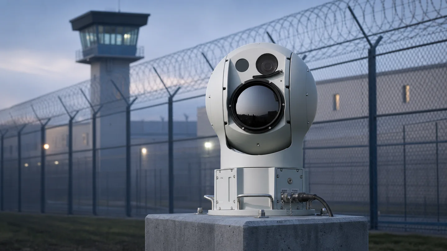
| G1 EO/IR Drone Tracking System | Day/night visual verification, track confirmation and evidence capture. | Use where operators require a visual assessment before escalation. |
| X20 Mobile Anti-Drone System | Temporary or relocatable detection and command support. | Use for construction changes, temporary events, remote stands or gap-filling deployments. |
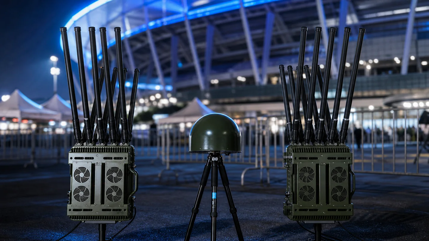
| H8 PRO High-Power Anti-Drone Jammer | An optional active-response component for authorized users only. | Consider only after legal authority, frequency requirements, safety controls and operating procedures are approved. |
Technical Requirements to Put in the RFQ
A useful request for quotation describes the operating outcome and acceptance method, not only a product name. Ask bidders to respond against the same requirement matrix.
| Requirement group | Buyer input | Evidence requested from supplier |
|---|---|---|
| Threat definition | Drone types, links, likely routes, operating altitude, speed and autonomy concerns. | A compliance matrix explaining what is detectable, conditionally detectable or outside scope. |
| Coverage | Protected boundary, warning zones, terrain, structures, line of sight and required warning time. | Coverage drawing, sensor placement assumptions, blind-zone analysis and expansion options. |
| Environment | Temperature, rain, dust, wind, salt, vibration, lightning and power quality. | Environmental ratings, installation limits, thermal design and maintenance requirements. |
| Performance | Required alert latency, track continuity, direction finding, classification and evidence retention. | Test method, representative evidence, confidence conditions and documented limitations. |
| Integration | VMS, PSIM, GIS, command platform, network, time source and third-party interfaces. | Protocol list, API documentation, data ownership, cybersecurity architecture and version policy. |
| Lifecycle | Operating hours, support response, spares, training, warranty and expected service life. | Maintenance plan, remote diagnostics, spare-parts list, upgrade policy and support SLA. |
| Compliance | Destination, end user, import requirements, spectrum rules and operational authority. | Export screening, certificates, authorization dependencies and a clear division of responsibilities. |
Deployment and Integration Plan
Airport deployment should be treated as an aviation change project with controlled surveys, approvals and test windows.
- Form a stakeholder group covering airport operations, aviation safety, security, IT, spectrum, legal, law enforcement and relevant air traffic parties.
- Document authorized UAS operations, historical incidents, likely launch areas, protected assets and required warning time.
- Complete RF, line-of-sight, structural, power, network and cybersecurity surveys at candidate locations.
- Build a coverage and integration design showing sensor roles, blind zones, alarm routes and failure behavior.
- Run a pilot in controlled windows using approved targets and representative routes without disrupting airport systems.
- Refine thresholds, classification rules, operator screens and escalation procedures from pilot evidence.
- Install, complete FAT/SAT, train operators and maintainers, and schedule periodic scenario exercises.
Changes to runway use, buildings, perimeter access, radio systems or authorized drone programs should trigger a coverage and procedure review.
FAT and SAT Acceptance Framework
Acceptance criteria should be agreed before manufacturing and installation. The project team should separate factory verification from performance testing at the real site.
| Test area | Factory acceptance test (FAT) | Site acceptance test (SAT) |
|---|---|---|
| Configuration | Verify models, quantities, interfaces, firmware, accessories and documentation before shipment. | Confirm installed assets, coordinates, calibration, network configuration and as-built drawings. |
| Detection workflow | Demonstrate sensor outputs and alarm processing with controlled inputs or representative targets. | Run agreed routes and scenarios across priority zones, including repeat passes and edge conditions. |
| Operator workflow | Verify user roles, alarm acknowledgement, evidence export and escalation logic. | Measure real operator actions, notification timing, handover and incident reporting. |
| Integration | Test documented APIs, data fields, time synchronization, health reporting and fault states. | Validate end-to-end exchange with the buyer’s operational systems and network policies. |
| Reliability | Conduct burn-in, restart, power recovery and component health checks. | Observe defined continuous operation, communications recovery and environmental behavior. |
| Training and handover | Review manuals, maintenance tools, spares and training materials. | Complete operator and maintainer training, competency checks and signed handover records. |
Record the test geometry, target type, route, altitude, weather, RF conditions, software version and operator actions. A single maximum-range demonstration is not a complete acceptance test.
Information to Send for a Project Proposal
Providing the following information helps engineering teams return a useful architecture instead of a generic equipment list:
- Airport diagram with runway orientation, approach sectors, terminal, apron and perimeter boundaries.
- Priority detection zones, required warning time and the actions operators must complete after an alert.
- Known drone types, authorized UAS program and non-cooperative target concerns.
- Available installation heights, structural limits, obstruction restrictions and maintenance windows.
- RF survey information, known airport transmitters and spectrum coordination requirements.
- Network zones, cybersecurity rules, data retention, VMS/PSIM/GIS and API requirements.
- Environmental conditions, power redundancy, lightning protection and service availability target.
- Destination, end user, legal authority and whether any active-response capability is in scope.
- Required operator languages, training, support response and spare-parts expectations.
- Target procurement schedule and the test scenarios the buyer wants included in acceptance.
Where security rules prevent sharing an exact drawing, provide an anonymized site plan with approximate distances, terrain, protected zones and installation constraints.
Common Procurement Mistakes
- Buying from a maximum-range claim without testing the real airport geometry and electromagnetic environment.
- Assuming RF detection alone covers autonomous, pre-programmed or unsupported links.
- Treating every sensor alert as confirmed hostile intent.
- Adding active mitigation before legal authority, spectrum safety and aviation coordination are complete.
- Ignoring authorized airport drones, resulting in avoidable alarms and operator distrust.
- Testing only one target, route, altitude or day and then treating the result as complete site coverage.
Related Procurement Guides
Frequently Asked Questions
Can one drone detector protect an entire airport?
Usually not. Airports contain different sight lines, structures, RF conditions and operational zones. A site-specific layered design is normally required to achieve useful warning and verification.
Does a drone alert prove malicious intent?
No. Detection indicates observed activity under defined conditions. Intent requires operational assessment, corroborating information and the approved authority process.
Which sensor should an airport choose first?
Begin with the threat model and site survey. RF sensing can identify supported links, radar can help detect non-cooperative targets, and EO/IR can support visual verification. The appropriate mix depends on the site.
Can an airport use a jammer after detecting a drone?
Only where the responsible organization has the required legal and spectrum authority and an approved safety procedure. Rules vary by country, destination and end user.
How should airport counter-UAS performance be tested?
Use repeated, approved scenarios across representative routes, altitudes, zones and conditions. Record detection, track continuity, alert latency, verification, operator actions and system recovery.
What information is needed for an airport proposal?
Provide a site plan, priority zones, warning-time objectives, threat types, installation constraints, integration requirements, environmental conditions, authority scope and acceptance expectations.
Official Planning References
For projects connected to civil aviation or U.S. operations, review the FAA counter-UAS legal and policy resources and the FAA airport detection and mitigation guidance. International airport stakeholders can also consult the ICAO UAS intrusion protection material. These references do not replace local legal, spectrum, aviation, import or operational review.
Plan an Airport Counter-UAS Project
Send an anonymized airport layout, priority sectors, warning-time objectives and integration requirements. JianHong can prepare a layered architecture and acceptance matrix for technical review.