Persistent Airspace Awareness
Monitor low-altitude activity around the protected perimeter and identify supported control or video links.
A layered drone detection and authorized response architecture for power plants, substations, energy sites, data centers and other high-value facilities.
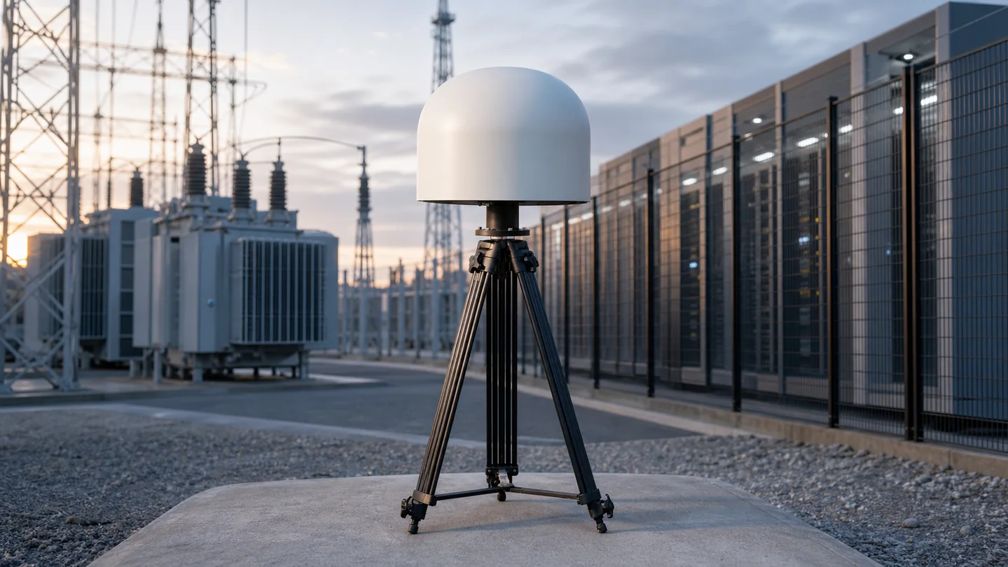
Critical infrastructure drone protection must maintain continuous awareness without disrupting normal site operations. A practical design maps low-altitude approach routes, sensitive assets, public boundaries, RF conditions and control-room workflows before selecting equipment. JianHong combines fixed RF sensing, radar, EO/IR verification, command software and authorized response options into a project-ready architecture.
Select capabilities around the protected site and operating requirement—not a fixed equipment list.
Monitor low-altitude activity around the protected perimeter and identify supported control or video links.
Combine RF, radar and EO/IR evidence to reduce uncertainty before an operator makes a response decision.
Deliver alarms, tracks and event records to the security team through a clear command workflow.
Match sensor positions, antennas, network, power and environmental protection to the actual facility.
Map assets, approaches, blind zones, RF conditions and legal boundaries.
Select complementary sensors for the expected drone and flight profile.
Correlate RF, radar and visual evidence in the command layer.
Apply the approved escalation and authorized response procedure.
Plants, switchyards and generation assets requiring continuous perimeter awareness.
Refineries, pipelines, terminals and remote production facilities.
Data centers, telecom compounds and high-value network infrastructure.
Reservoirs, ports, rail hubs and other essential public services.
Protected-site drawing, approximate area and sensitive assets
Expected drone types, approach routes and required warning time
Existing CCTV, VMS, command center, network and power interfaces
Local authorization, incident workflow and acceptance criteria
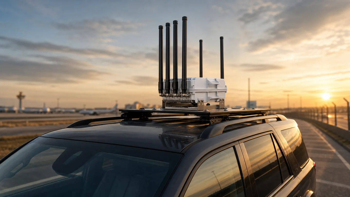
A mobile detection, command and authorized response package for patrols, convoys, temporary sites and rapidly changing security missions.
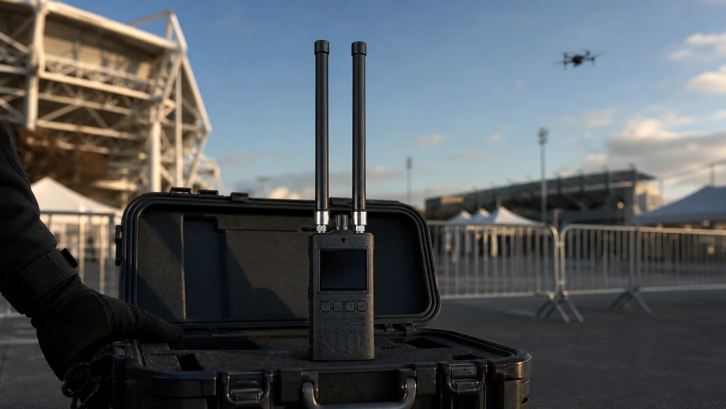
Layered RF, radar, optical and authorized response options for low, fast and short-warning FPV drone threats.
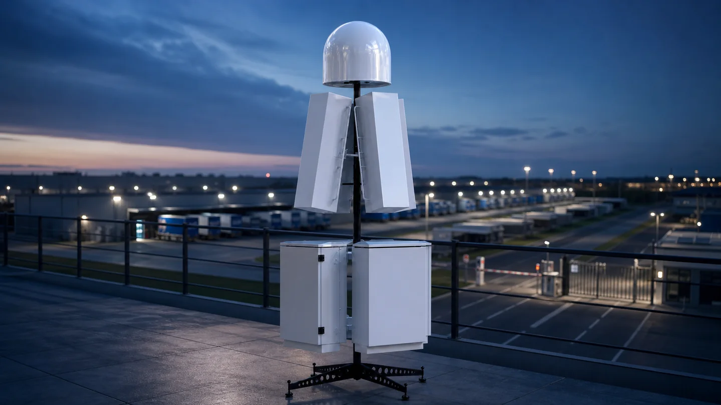
Connect drone detection, verification, command software and legally authorized jamming equipment in one controlled counter-UAS workflow.
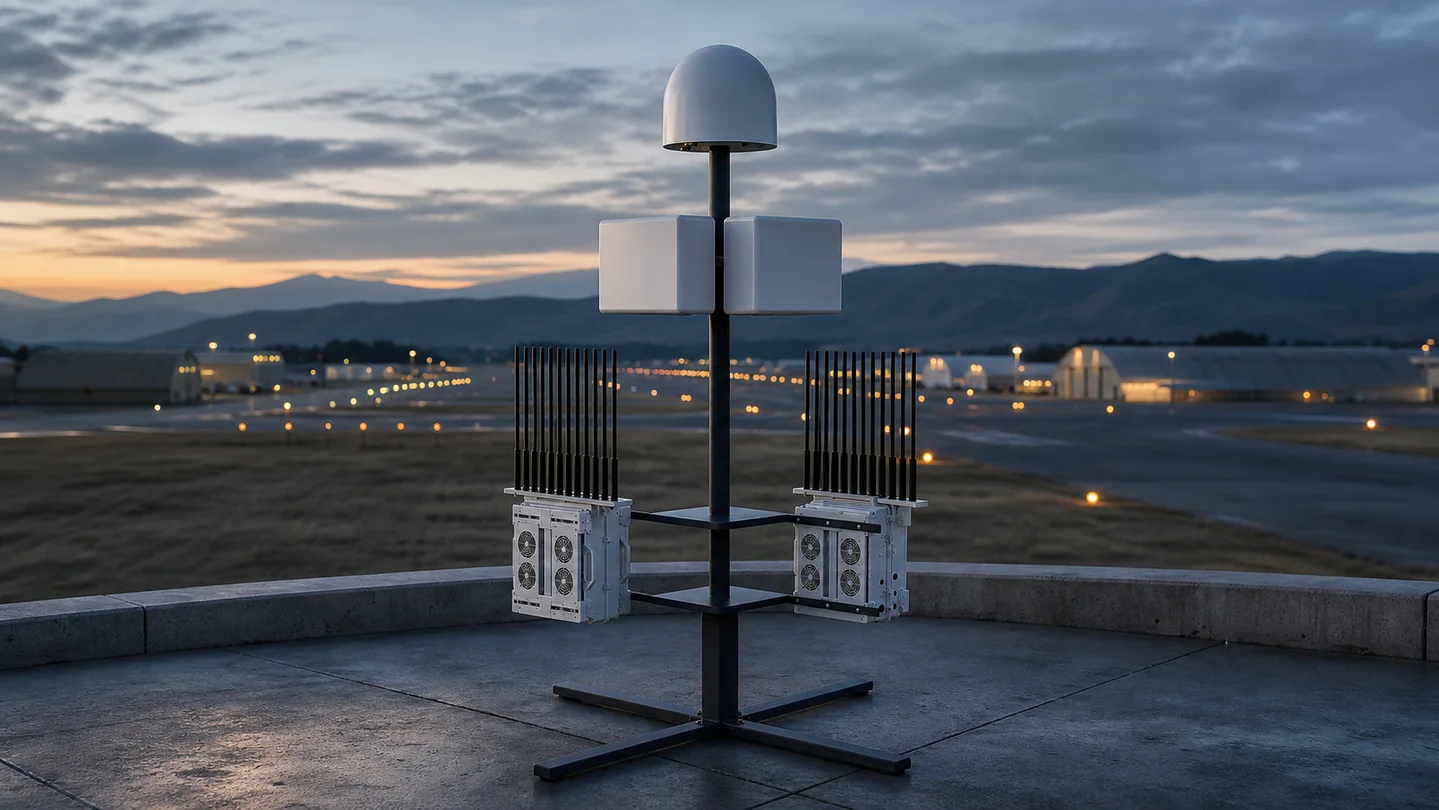
A layered fixed-site and mobile counter-UAS architecture for perimeter awareness, sensitive zones, patrol support and controlled response.
It is a layered security architecture that detects, identifies and tracks unauthorized drones around a high-value site and connects verified alerts to an approved response workflow.
RF sensing can identify supported control links, radar can detect non-cooperative targets and EO/IR can provide visual verification. The correct combination depends on terrain, RF conditions and required coverage.
Yes. Interface planning can connect alarms, tracks, video and event records to existing security software or a dedicated command platform.
Layered sensing, geofenced rules, target correlation and operator verification help distinguish relevant drone activity from unrelated objects or RF signals.
Send the protected site, target profile, coverage and integration requirements. Our team will propose a practical architecture.

Shenzhen Jianhong Industrial Co., Ltd.
Professional low-altitude security and RF technology solution provider, offering integrated detection, monitoring, signal management, RF modules and customized OEM/ODM services.