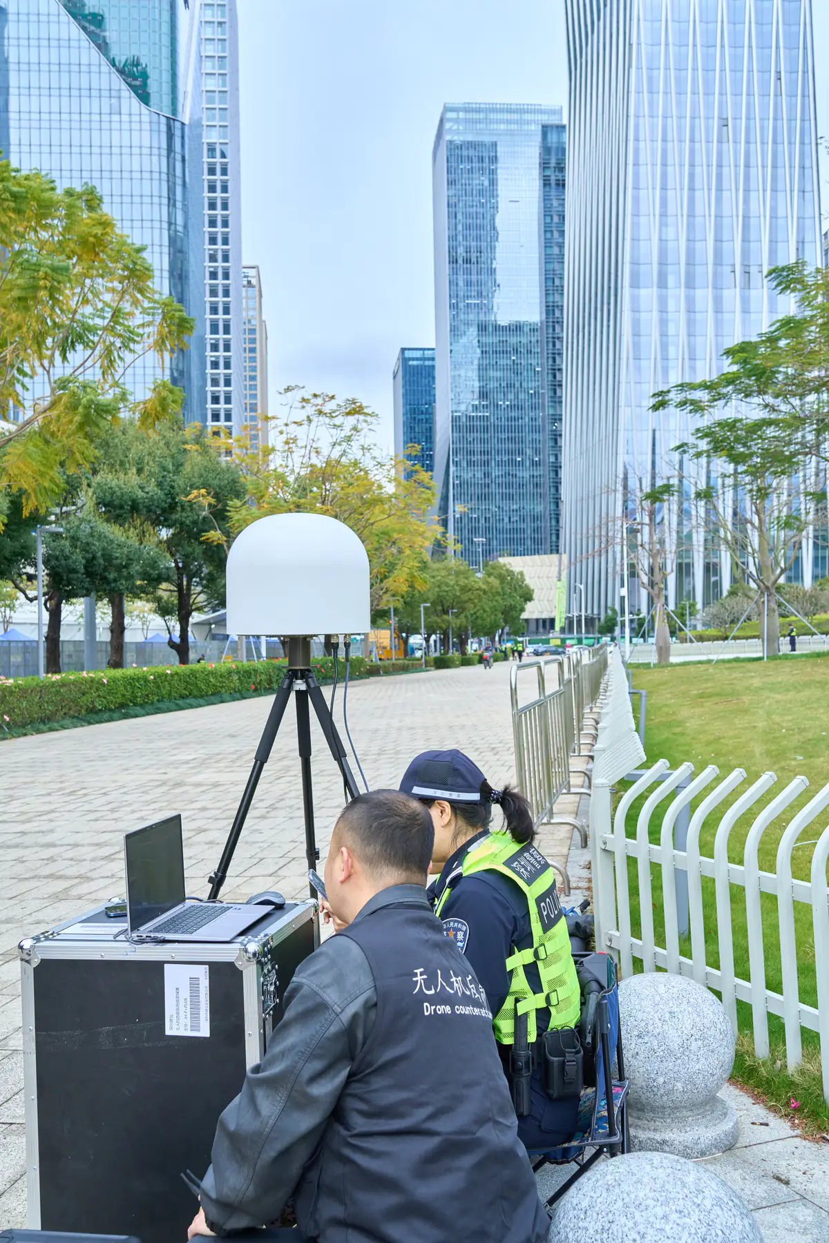
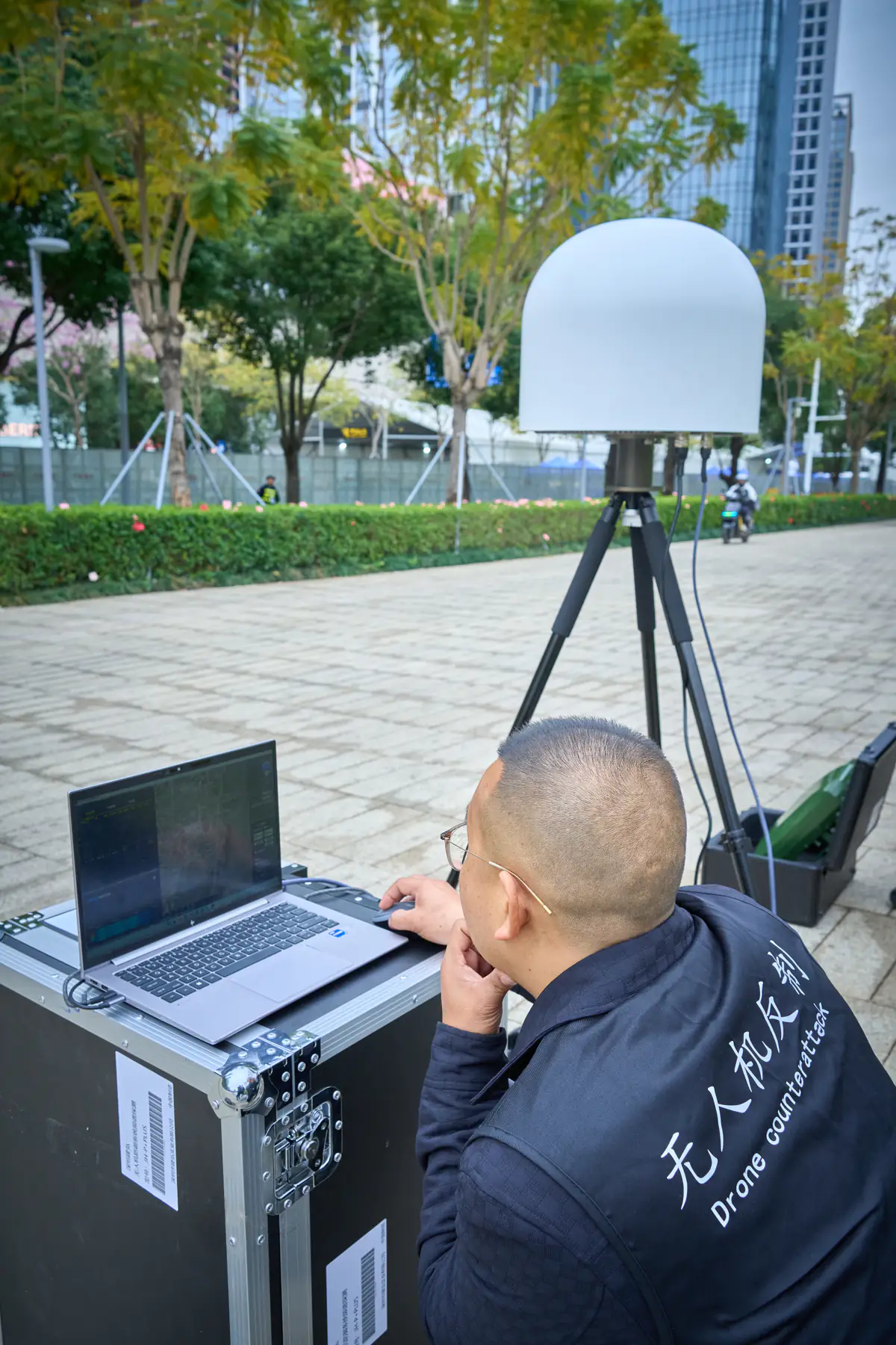
24-CHANNEL

24-Channel UAV
Detection & Countermeasure
System

Integrated Detection, Identification & Signal Management for Low-Altitude Security

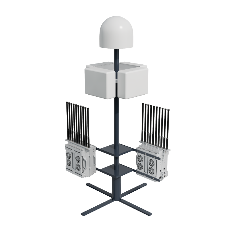
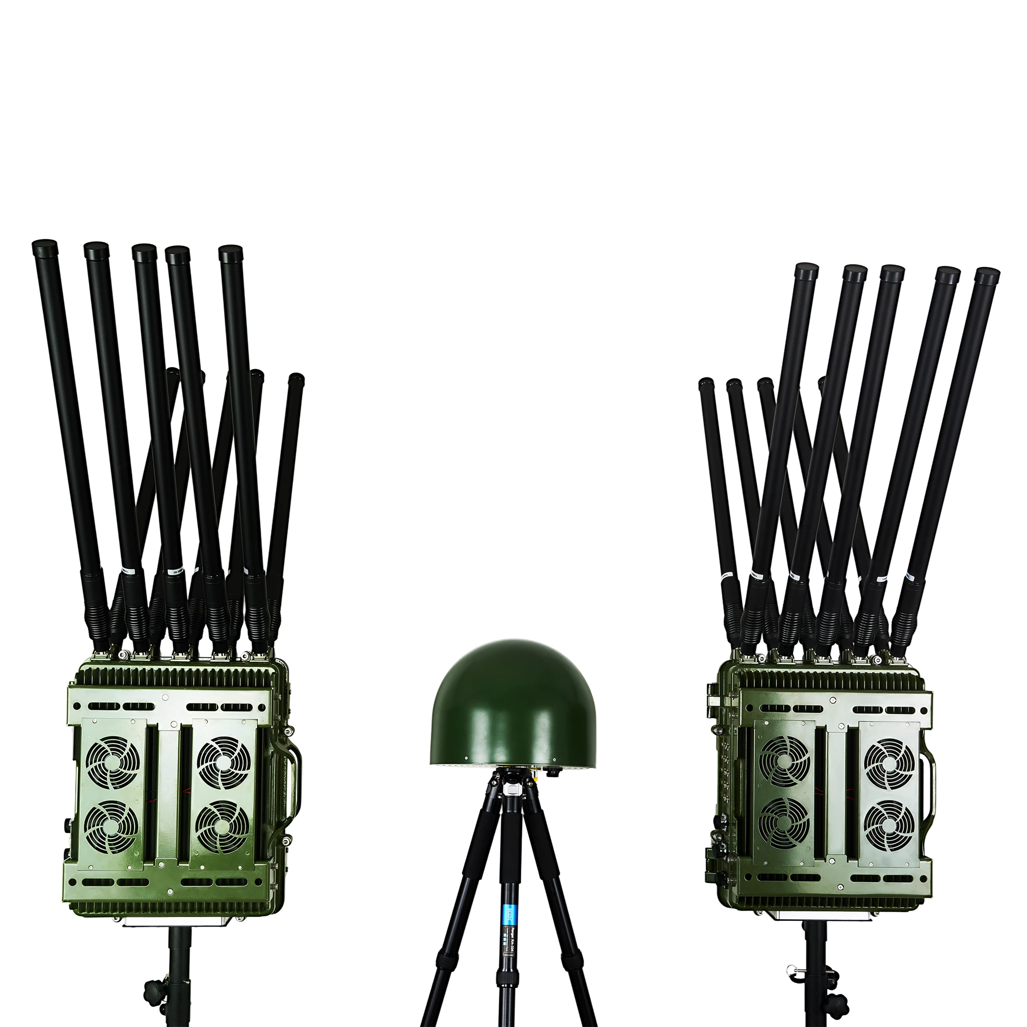
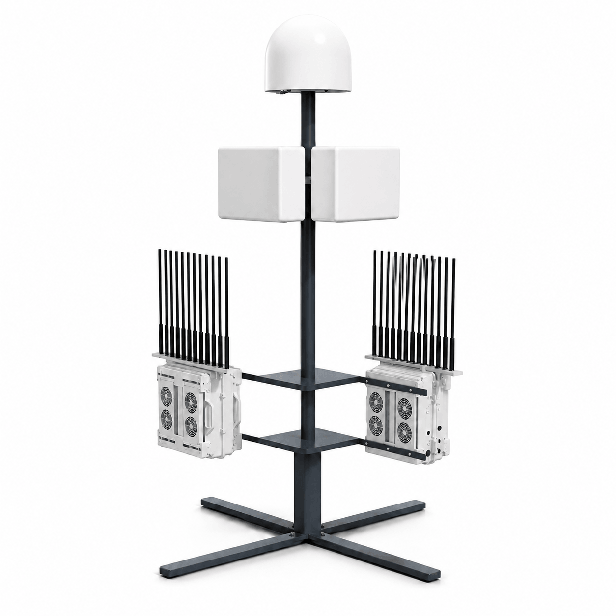
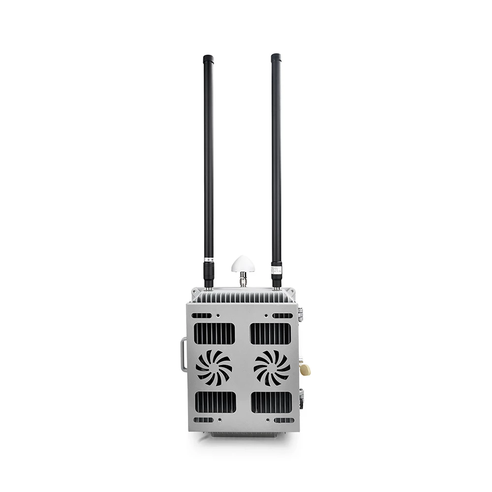
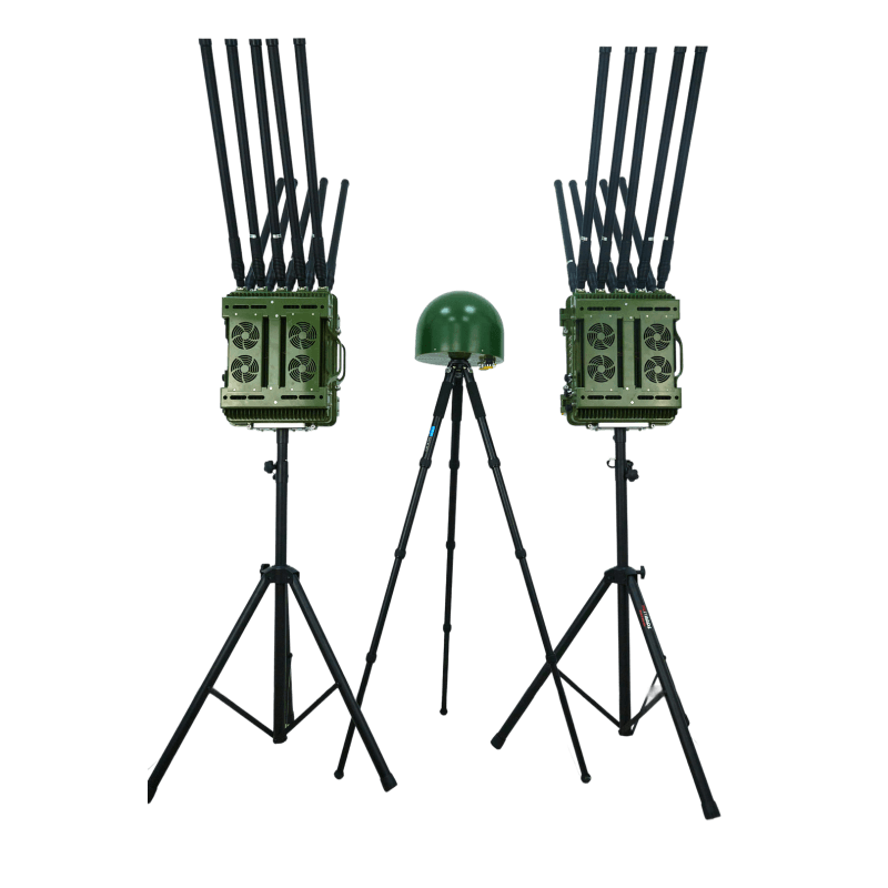
This integrated three-unit system combines wideband spectrum detection with high-power multi-band countermeasure capability. Designed for fixed-site deployment, it supports real-time drone signal detection, rapid response, remote control, and 24/7 continuous operation for critical security applications.

System Composition: 2 Countermeasure Units + 1 Spectrum Detection Unit
Integrated Architecture: 24-Channel System
Countermeasure Coverage: 110-5950 MHz
Detection Frequencies: 900-1400 MHz / 2.4 GHz / 5.1-5.9 GHz
Output Power: 50W per Channel
Detection Range: Over 2 km
Countermeasure Range: 1-3 km
Operation: 24/7 Continuous Running
JH-CD800

Integrated Detection
& Signal Management
System

Fixed Low-Altitude Security Solution

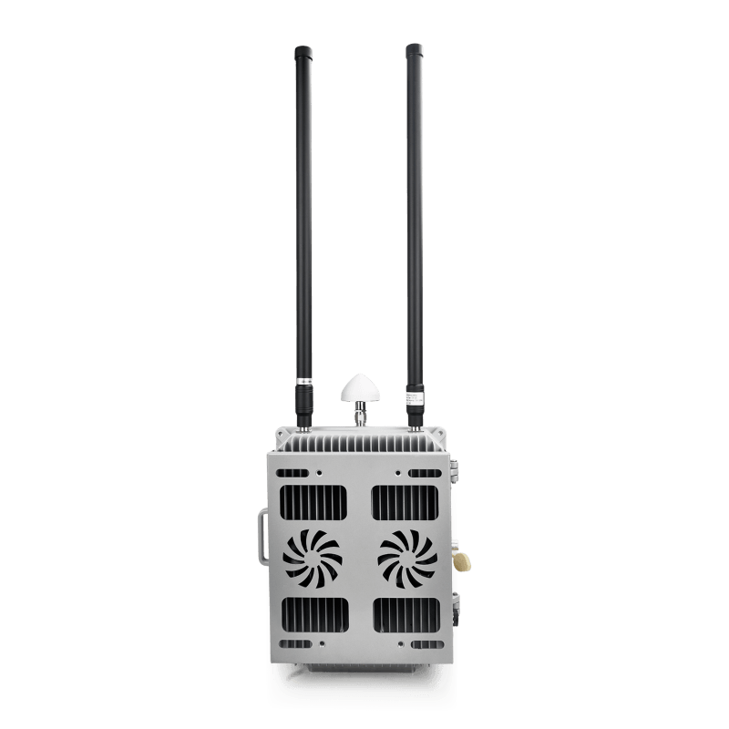
The JH-CD800 is designed for fixed low-altitude security applications, integrating wideband detection, multi-band signal management, 360-degree coverage, and remote visualized control for critical site protection.

Frequency Range: 70MHz-6GHz
Independent Channels: Up to 56
360 Degree Coverage
7x24 Operation
Direction Finding: <= +/- 16 degrees RMS
IP66 Protection
Operating Temperature: -40C to +60C
Visualized Control System
JHR-H15

Four-Sided Phased
Array Radar

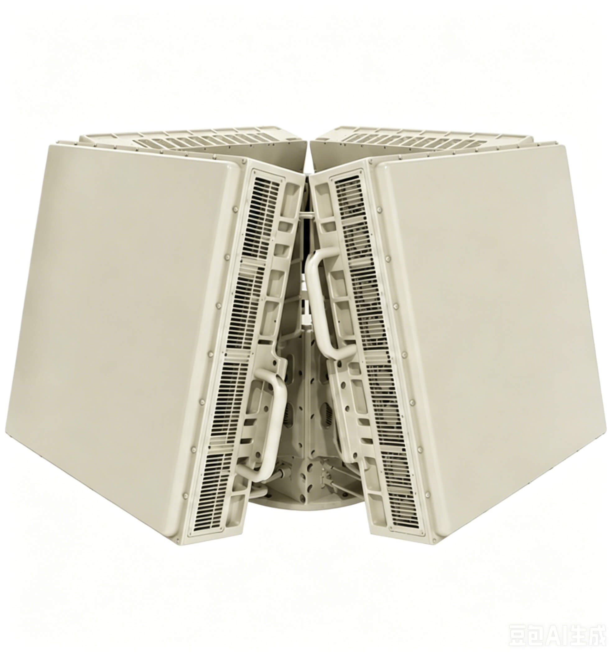
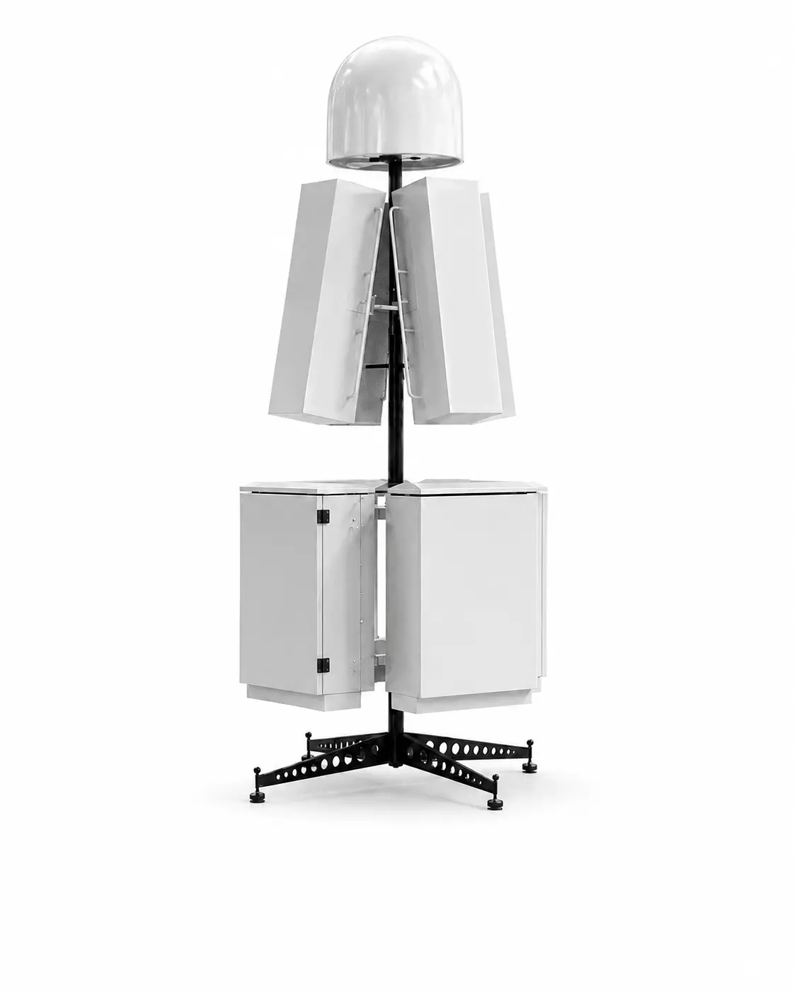
X-Band AESA Radar for 360-Degree Low-Altitude Surveillance

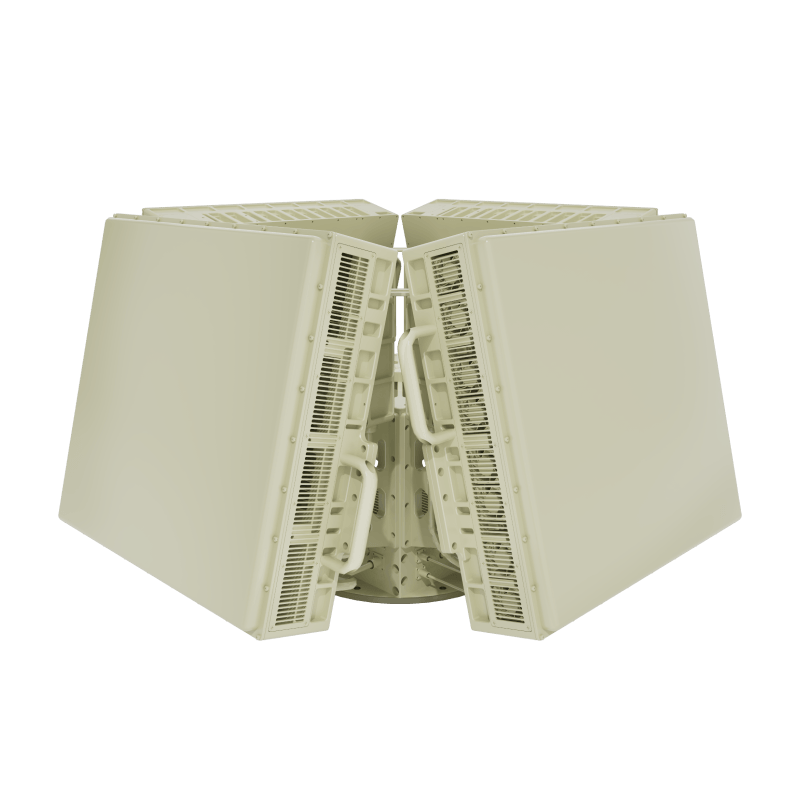
Designed as a core sensing unit for integrated airspace security, the JHR-H15 rapidly detects and continuously tracks UAVs, aircraft, vehicles and surface targets with high-precision position and motion data.

Detection Range: Large UAV: >= 15 km; Small UAV: >= 5 km
360 Degree Azimuth Coverage: Elevation: -2 to 45 degrees
Simultaneous Tracking: >= 200 Moving Targets
High Refresh Rate: 2.5s TWS / 0.25s TAS
Operating Temperature: -40C to +55C
JH10D

Fixed UAV
Detection Device

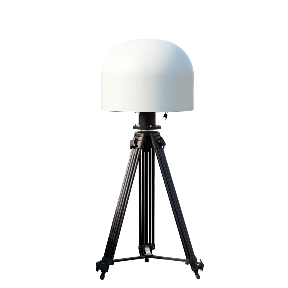
Long-Range Passive Drone Detection for 24/7 Security Protection

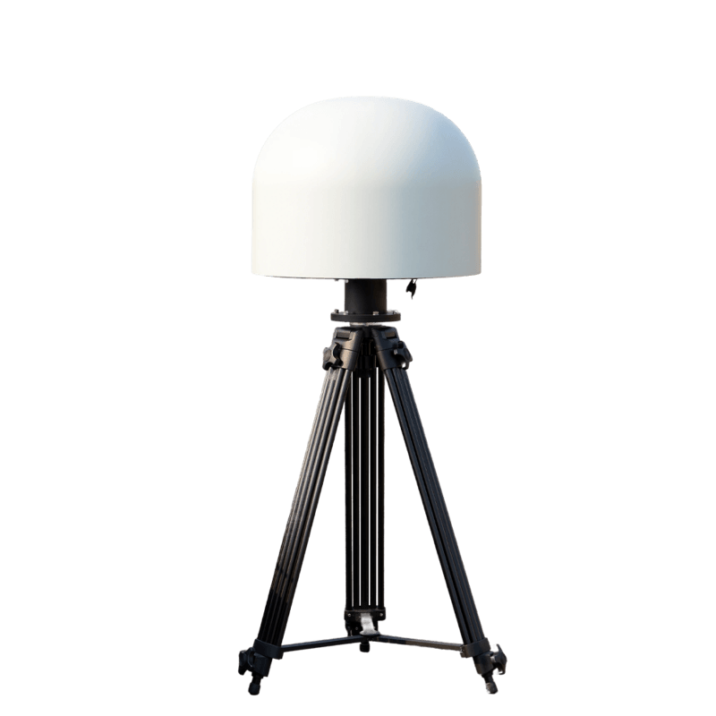
Designed for fixed-site drone monitoring, the JH10D supports 100MHz-6000MHz wideband detection and provides stable long-range drone detection for critical security areas.

Detection Frequency: 100MHz-6000MHz
Detection Range: 8-10 km
360 Degree Passive Detection
Supports 500+ Drone Models
7x24 Continuous Operation
Networked Deployment & API Integration
GPS SPOOFING

GPS Spoofing Device
for Drone Navigation
Deception

Precise Deception for Drone Navigation Protection

This device generates false GPS signals to mislead drone navigation systems, disrupting positioning and flight control for no-fly zone defense and critical area protection.

Spoofing Frequency Bands: GPS L1 / L2 | GLONASS L1 | BeiDou B1 | Galileo E1
Spoofing Range: 500 m - 3 km adjustable
Startup Time: <60 seconds RMS
Signal Modes: Position Hold | Position Offset | Return-to-Home | Landing Trap
Dimensions: 300 x 220 x 120 mm
Operating Temperature: -20C to +60C

SECURE YOUR AIRSPACE

INTEGRATED COUNTER
DRONE SYSTEMS

Layered detection, command and authorized response
options for comprehensive low-altitude security.

DetectWide-area awareness
IdentifyThreat classification
CounterCoordinated response

WHY CHOOSE US

01

Flexible Customization

Support frequency bands, output power, appearance, control mode and system integration customization.

02

Professional RF Engineering

Experienced RF design, testing and tuning for stable performance in demanding scenarios.

03

Reliable Manufacturing

Controlled production workflow with testing, aging and quality checks before delivery.

04

Fast Sampling

Efficient technical confirmation, prototype preparation and sample delivery for project validation.

05

Scalable Supply

Support small-batch customization and continuous production for larger deployment plans.

06

After-Sales Support

Remote technical assistance, documentation and maintenance guidance for long-term operation.

CUSTOM SOLUTION PROCESS

01

Requirement Discussion

Application / Frequency / Power / Quantity

02

Technical Solution

Customized Design & Configuration

03

Quotation & Sampling

Fast Costing & Prototype Build

04

Sample Approval

Testing & Performance Verification

05

Mass Production Order

Confirm Specs & Production Plan

06

Production & Delivery

Quality Control & On-Time Shipment

Integrated Counter-UAS Solutions

Integrated Counter-Drone Systems for Layered Site Protection

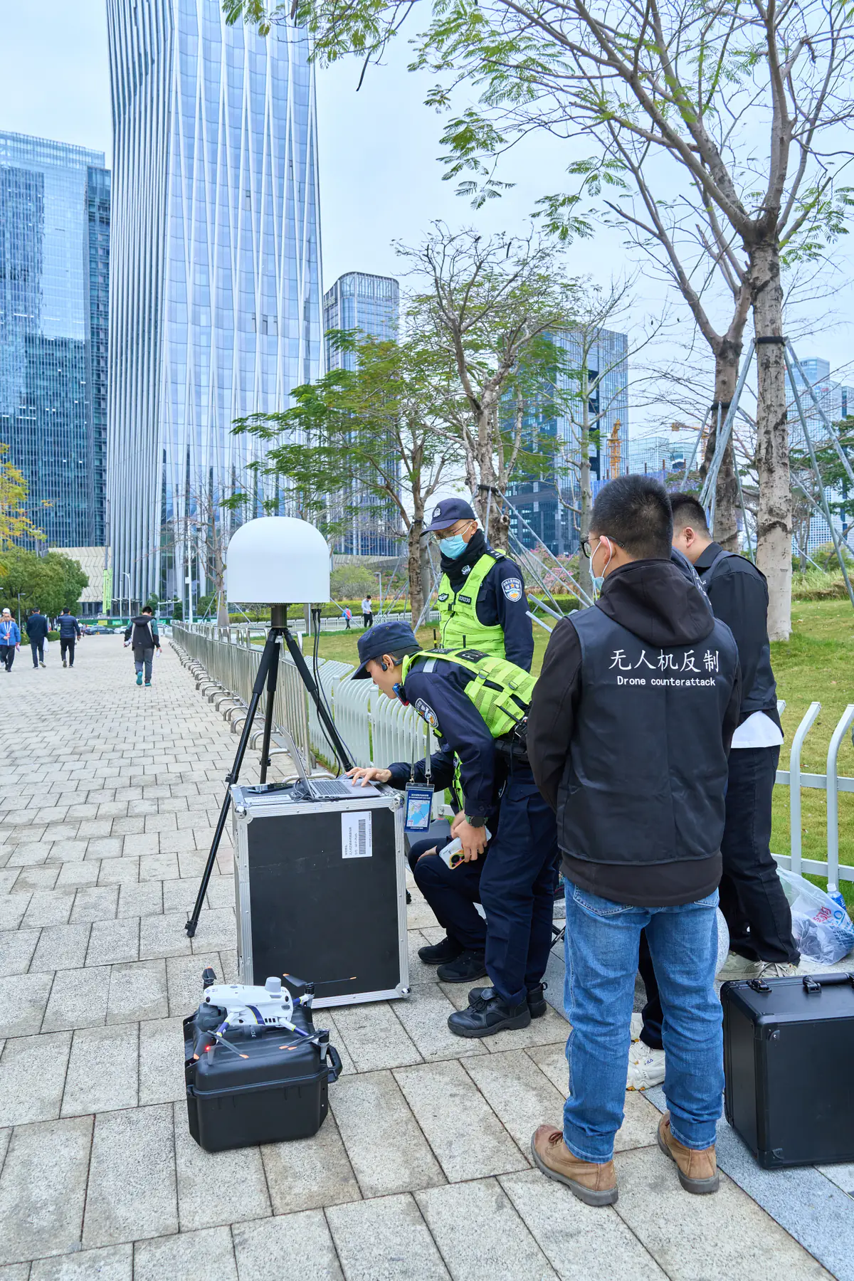
JianHong integrated counter-drone systems combine compatible detection sensors, command and control, tracking or visual verification, and authorized response options. The objective is a coordinated workflow from early warning to operator assessment and recorded action.

Every protected site has a different risk profile. Coverage geometry, target types, terrain, surrounding buildings, RF conditions, existing security infrastructure and local response authority should shape the system architecture.

View selection guide Build a Layered Counter-UAS Architecture A complete system should connect sensing, decision-making and approved response without creating operational blind spots.

Build a Layered Counter-UAS Architecture

A complete system should connect sensing, decision-making and approved response without creating operational blind spots.

Detect

Use RF, radar or other compatible sensors to generate early warning across the protected area.

Identify & Track

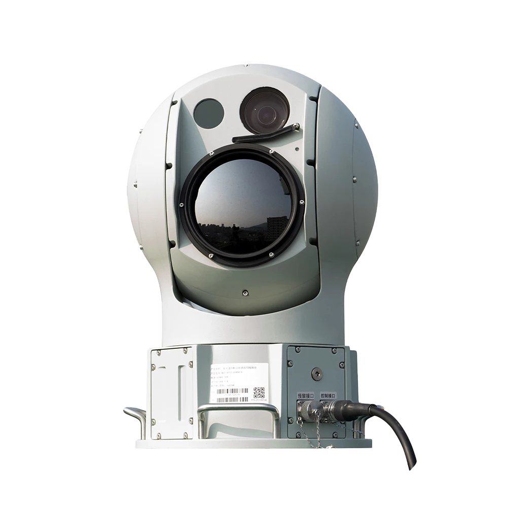
Correlate sensor data and use EO/IR or direction finding where visual or positional confirmation is required.

Command & Control

Present alarms, tracks, device status and operator actions in a centralized operating interface.

Authorized Response

Connect response options that match local authority, safety rules and the site operating procedure.

Anti-Drone Equipment FAQs

What components are included in an integrated counter-drone system?

A project may include RF detection, radar, EO/IR tracking, command-and-control software, networking, alarms and authorized response devices. The exact components depend on site coverage, target types, operating workflow and local rules.

Can an integrated system use existing cameras or security platforms?

Project-specific integration may be possible through supported network interfaces, APIs, alarm outputs or command platforms. Compatibility should be checked against the existing device models, protocols and required data flow.

How is counter-drone system coverage designed?

Coverage planning considers the protected boundary, terrain, buildings, sensor line of sight, antenna placement, RF noise, target approach routes, installation height, networking and power. A site plan is needed for meaningful design work.

Can the system be fixed, mobile or rapidly deployable?

Yes. Components can be evaluated for fixed infrastructure, vehicle-mounted use or temporary deployment. The best architecture depends on mobility, setup time, power supply, environmental protection and operating team size.

What is needed to prepare a counter-UAS proposal?

Provide the site type, map or dimensions, target threats, desired detection and response coverage, existing security equipment, preferred deployment, operator workflow, destination country, quantity and project schedule.

Plan an Integrated Counter-UAS System

Send a site plan, threat profile, coverage requirement and existing security architecture for a project-based system recommendation.